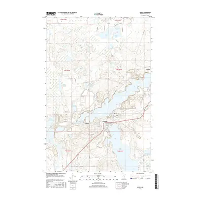
2016 Map of Bovey
USGS Topo · Published 2016About this map
The Mesabi Range iron mining landscape is clearly visible in this 2016 survey of the Bovey and Coleraine area. The terrain is defined by its industrial legacy, featuring large-scale water management and mining infrastructure such as the Arcturus Tailings Basin, the Arcturus Water Supply Basin, and the Hunner Tailings Basin. These industrial features sit alongside natural water bodies like Trout Lake, Shamrock Lake, and the winding Prairie River in the north. The residential layout of Coleraine is detailed with street names like Roosevelt St and Mitchell St, while Lakeview Cem stands near the shore of Canisteo. This modern map documents how the historical extraction industry has permanently reshaped the Minnesota topography, contrasting dense town grids with expansive engineered basins and tailing ponds that now dominate the local geography.
Find a feature on this map
68 named features on this map. Tap any name to fly to it.
Don’t see what you’re looking for? This feature index may not catch every label — zoom into the map to look around manually.
Map Details
Editions of this 2016 Bovey Map
This is the sole edition of this map. No revisions or reprints were ever made.
Other maps of this area
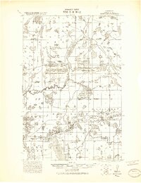
1920 · Trout Lake
USGS Topo · 1:62,500
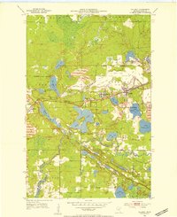
1952 · Calumet
USGS Topo · 1:24,000
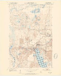
1952 · Bovey
USGS Topo · 1:24,000
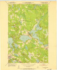
1953 · Cohasset East
USGS Topo · 1:24,000
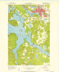
1953 · Grand Rapids
USGS Topo · 1:24,000

1954 · Hibbing
USGS Topo · 1:250,000

1957 · Hibbing
USGS Topo · 1:250,000

1958 · Hibbing
USGS Topo · 1:250,000

1964 · Hibbing
USGS Topo · 1:250,000
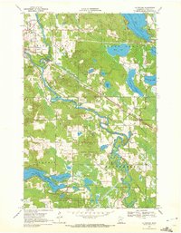
1969 · La Prairie
USGS Topo · 1:24,000