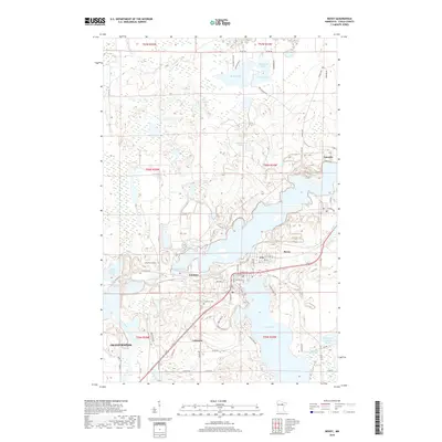
2019 Map of Bovey
USGS Topo · Published 2019About this map
Bovey and Coleraine serve as the primary hubs in this Itasca County landscape, where the iron mining legacy of the Mesabi Range is etched into the topography. The terrain is a complex of natural water bodies and industrial modifications, evidenced by the large Trout Lake Tailings Basin and the adjacent Trout Lake. To the north, a dense network of smaller lakes including Shamrock Lake, Reiley Lake, and Moonshine Lake punctuates the glacial landscape, while the Prairie River winds through the western portion of the quadrangle toward Grand Rapids. This 2019 survey documents the enduring spatial relationship between the residential streets of Taconite and the nearby Canisteo area. Genealogists and local historians will find the location of Lakeview Cem particularly useful, situated on a rise overlooking the industrial and natural waters that have shaped the region's economy and settlement patterns for over a century.
Find a feature on this map
66 named features on this map. Tap any name to fly to it.
Don’t see what you’re looking for? This feature index may not catch every label — zoom into the map to look around manually.
Map Details
Editions of this 2019 Bovey Map
This is the sole edition of this map. No revisions or reprints were ever made.
Other maps of this area
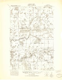
1920 · Trout Lake
USGS Topo · 1:62,500
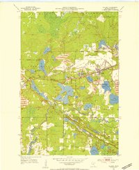
1952 · Calumet
USGS Topo · 1:24,000
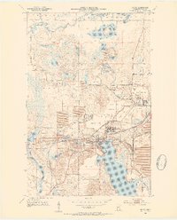
1952 · Bovey
USGS Topo · 1:24,000
1953 · Cohasset East
USGS Topo · 1:24,000
1953 · Grand Rapids
USGS Topo · 1:24,000

1954 · Hibbing
USGS Topo · 1:250,000

1957 · Hibbing
USGS Topo · 1:250,000

1958 · Hibbing
USGS Topo · 1:250,000

1964 · Hibbing
USGS Topo · 1:250,000
1969 · La Prairie
USGS Topo · 1:24,000