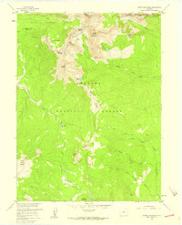
1957 Map of Bowen Mountain
USGS Topo · Published 1959About this map
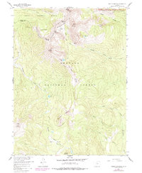
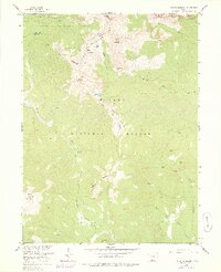
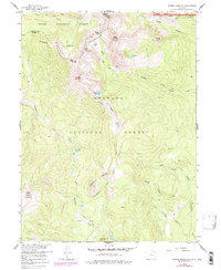
The Never Summer Mountains define the northern reaches of this high-altitude landscape, where the Continental Divide zigzags across the terrain. This mid-century survey captures a network of pack trails that once supported early prospecting and mountain travel, most notably the Wolverine Trail and Parika Trail. High-elevation water bodies like Ruby Lake, Blue Lake, and Bowen Lake are scattered among the peaks, feeding various drainages including the Illinois River and Stillwater Creek. Evidence of early 20th-century industry remains at the Wolverine Mine, situated on the steep slopes of Bowen Mountain. This era of land management is reflected in the meeting of three major jurisdictions: Routt National Forest, Arapaho National Forest, and Rocky Mountain National Park. The map documents a transition in use from active resource extraction to modern forest and park administration.
Find a feature on this map
33 named features on this map. Tap any name to fly to it.
Don’t see what you’re looking for? This feature index may not catch every label — zoom into the map to look around manually.
Map Details
Editions of this 1957 Bowen Mountain Map
8 editions found

Other maps of this area

1915 · Longs Peak
USGS Topo · 1:125,000

1919 · Rocky Mountain National Park
USGS Topo · 1:125,000

1954 · Greeley
USGS Topo · 1:250,000

1954 · Craig
USGS Topo · 1:250,000

1956 · Radial Mountain
USGS Topo · 1:24,000

1956 · Jack Creek Ranch
USGS Topo · 1:24,000

1956 · Rand
USGS Topo · 1:62,500

1957 · Craig
USGS Topo · 1:250,000

1957 · Greeley
USGS Topo · 1:250,000

1957 · Mount Richthofen
USGS Topo · 1:24,000