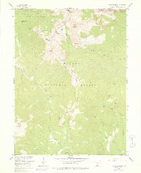
1957 Map of Bowen Mountain
USGS Topo · Published 1978About this map
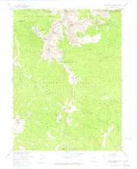
The Never Summer Mountains dominate this high-altitude landscape along the Continental Divide, where the boundaries of Routt National Forest, Arapaho National Forest, and Rocky Mountain National Park converge. The terrain is defined by extreme relief, rising from the headwaters of the Illinois River to the summits of Cascade Mountain and Bowen Mountain. Historical land use is visible through a network of pack trails, including the Wolverine Trail and Gilsonite Trail, which once provided access to remote sites like the Wolverine Mine.
Find a feature on this map
34 named features on this map. Tap any name to fly to it.
Don’t see what you’re looking for? This feature index may not catch every label — zoom into the map to look around manually.
Map Details
Editions of this 1957 Bowen Mountain Map
8 editions found

Other maps of this area

1915 · Longs Peak
USGS Topo · 1:125,000

1919 · Rocky Mountain National Park
USGS Topo · 1:125,000

1954 · Greeley
USGS Topo · 1:250,000

1954 · Craig
USGS Topo · 1:250,000

1956 · Radial Mountain
USGS Topo · 1:24,000

1956 · Jack Creek Ranch
USGS Topo · 1:24,000

1956 · Rand
USGS Topo · 1:62,500

1957 · Craig
USGS Topo · 1:250,000

1957 · Greeley
USGS Topo · 1:250,000

1957 · Mount Richthofen
USGS Topo · 1:24,000