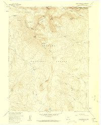
1957 Map of Bowen Mountain
USGS Topo · Published 1960About this map
The Continental Divide carves a dramatic path through this high-altitude landscape where the Never Summer Mountains meet the borders of the Routt National Forest, Arapaho National Forest, and Rocky Mountain National Park. Based on field checks in 1957, the map documents a remote alpine environment defined by steep drainages like Baker Gulch and Bowen Gulch. A network of pack trails, including the Wolverine Pack Trail and the Stillwater Pack Trail, provides the primary access to the summits of Bowen Mountain and Cascade Mountain. These routes, along with the Gilsonite Trail, suggest a landscape historically utilized for exploration and early resource assessment. The presence of numerous high-elevation water bodies, such as Ruby Lake and Lost Lake, highlights the glacial heritage of the terrain near the headwaters of the Illinois River.
Find a feature on this map
35 named features on this map. Tap any name to fly to it.
Don’t see what you’re looking for? This feature index may not catch every label — zoom into the map to look around manually.
Map Details
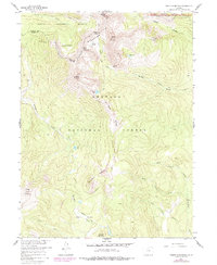
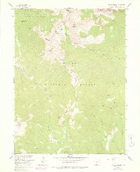
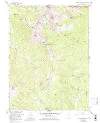
Editions of this 1957 Bowen Mountain Map
8 editions found

Other maps of this area

1915 · Longs Peak
USGS Topo · 1:125,000

1919 · Rocky Mountain National Park
USGS Topo · 1:125,000

1954 · Greeley
USGS Topo · 1:250,000

1954 · Craig
USGS Topo · 1:250,000

1956 · Radial Mountain
USGS Topo · 1:24,000

1956 · Jack Creek Ranch
USGS Topo · 1:24,000

1956 · Rand
USGS Topo · 1:62,500

1957 · Craig
USGS Topo · 1:250,000

1957 · Greeley
USGS Topo · 1:250,000

1957 · Mount Richthofen
USGS Topo · 1:24,000