
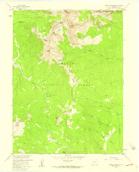
1957 Map of Bowen Mountain
USGS Topo · Published 1959About this map
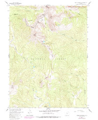
The Continental Divide snake-like path through the Never Summer Mountains defines this high-altitude landscape on the border of Jackson and Grand counties. This mid-century survey captures a wilderness dominated by massive peaks such as Ruby Mountain and Gravel Mountain, where human impact is primarily limited to early resource extraction and foot travel. The presence of the Wolverine Mine near Bowen Gulch points to the area's mining history, while the network of primitive paths like the Wolverine Trail, Parika Trail, and Gilsonite Trail suggests the routes used by prospectors and early forest rangers. Water resources are central to the terrain, with the Illinois River headwaters and a series of alpine basins including Ruby Lake, Blue Lake, and Lost Lake punctuating the mountain passes. The map also delineates the administrative boundaries of the Arapaho National Forest, Routt National Forest, and Rocky Mountain National Park.
Find a feature on this map
34 named features on this map. Tap any name to fly to it.
Don’t see what you’re looking for? This feature index may not catch every label — zoom into the map to look around manually.
Map Details
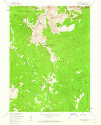
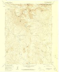
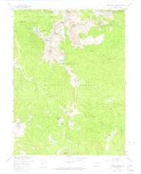
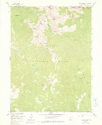
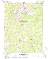
Editions of this 1957 Bowen Mountain Map
8 editions found
Other maps of this area

1915 · Longs Peak
USGS Topo · 1:125,000

1919 · Rocky Mountain National Park
USGS Topo · 1:125,000

1954 · Greeley
USGS Topo · 1:250,000

1954 · Craig
USGS Topo · 1:250,000

1956 · Radial Mountain
USGS Topo · 1:24,000

1956 · Jack Creek Ranch
USGS Topo · 1:24,000

1956 · Rand
USGS Topo · 1:62,500

1957 · Craig
USGS Topo · 1:250,000

1957 · Greeley
USGS Topo · 1:250,000

1957 · Mount Richthofen
USGS Topo · 1:24,000