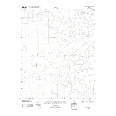
2010 Map of Bowers City
USGS Topo · Published 2010About this map
Bowers City is the central point of interest in this part of the Texas Panhandle, situated where the high plains begin to break toward the drainage basins of the Red River. The landscape is defined by the winding course of the North Fork Red River, which meanders across the center of the quadrangle. A network of rural routes, including Ranch Rd 749 and Seminole Rd, connects the scattered residences and ranch lands that characterize the local economy.
Find a feature on this map
15 named features on this map. Tap any name to fly to it.
Don’t see what you’re looking for? This feature index may not catch every label — zoom into the map to look around manually.
Map Details
Editions of this 2010 Bowers City Map
This is the sole edition of this map. No revisions or reprints were ever made.
Other maps of this area

1954 · Amarillo
USGS Topo · 1:250,000

1958 · Amarillo
USGS Topo · 1:250,000

1963 · Pampa
USGS Topo · 1:24,000

1965 · Lake Mc Connell
USGS Topo · 1:24,000

1966 · Grandview School
USGS Topo · 1:24,000

1966 · Kingsmill
USGS Topo · 1:24,000

1966 · Bowers City
USGS Topo · 1:24,000

1967 · Lefors
USGS Topo · 1:24,000

1967 · Hoover
USGS Topo · 1:24,000

1968 · Taylor Ranch
USGS Topo · 1:24,000