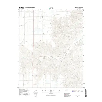
2016 Map of Bowers City
USGS Topo · Published 2016About this map
The North Fork Red River snakes across the central landscape of this Gray County region, defining a topography of deep drainage cuts and sharp relief. While the northern and western portions of the quadrangle follow a strict section-line grid typical of Texas Panhandle ranching and agricultural lands, the eastern half is dominated by the intricate branching of Plum Cr, N Fork Grapevine Cr, and S Fork Grapevine Cr. This contrast highlights the shift from manageable plains to the more dissected breaks of the Red River valley. Local transit is facilitated by a network of ranch-to-market roads, including Ranch Rd 749 and Fm 2375, which navigate the high ground between these seasonal waterways. Small local routes like Couts Thomas Rd and Seminole Rd provide access to more isolated tracts within this transition zone.
Find a feature on this map
19 named features on this map. Tap any name to fly to it.
Don’t see what you’re looking for? This feature index may not catch every label — zoom into the map to look around manually.
Map Details
Editions of this 2016 Bowers City Map
This is the sole edition of this map. No revisions or reprints were ever made.
Other maps of this area
1954 · Amarillo
USGS Topo · 1:250,000
1958 · Amarillo
USGS Topo · 1:250,000
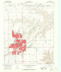
1963 · Pampa
USGS Topo · 1:24,000
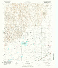
1965 · Lake Mc Connell
USGS Topo · 1:24,000
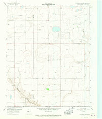
1966 · Grandview School
USGS Topo · 1:24,000
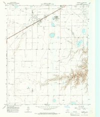
1966 · Kingsmill
USGS Topo · 1:24,000
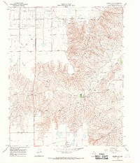
1966 · Bowers City
USGS Topo · 1:24,000
1967 · Lefors
USGS Topo · 1:24,000
1967 · Hoover
USGS Topo · 1:24,000
1968 · Taylor Ranch
USGS Topo · 1:24,000