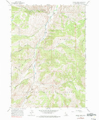
1963 Map of Bowery Creek
USGS Topo · Published 1990About this map
The East Fork Salmon River carves a deep central corridor through this 1963 survey of Custer County, defining the boundary between two major federal land holdings. To the west and north lie the protected slopes of the Challis National Forest, while the southern reaches fall within the Sawtooth National Forest. A notable concentration of alpine drainage systems, including Big Boulder Creek, Wickiup Creek, and Germania Creek, flow from the high ridges toward the river valley. A lone Landing Strip situated along the riverbank serves as the primary evidence of infrastructure in this backcountry landscape, likely supporting fire management or seasonal access to the interior. The map documents a topography dominated by prominent features like Red Ridge and the winding course of Bowery Creek, providing a detailed look at the hydrology of the Idaho mountains before modern wilderness designations.
Find a feature on this map
18 named features on this map. Tap any name to fly to it.
Don’t see what you’re looking for? This feature index may not catch every label — zoom into the map to look around manually.
Map Details
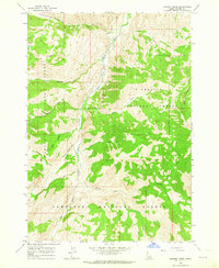
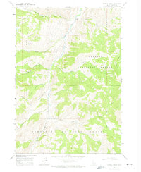
Editions of this 1963 Bowery Creek Map
3 editions found
Other maps of this area

1895 · Hailey
USGS Topo · 1:125,000

1897 · Hailey
USGS Topo · 1:125,000

1900 · Sawtooth
USGS Topo · 1:125,000

1919 · Custer
USGS Topo · 1:125,000

1922 · Custer
USGS Topo · 1:125,000

1929 · Bayhorse
USGS Topo · 1:125,000

1955 · Hailey
USGS Topo · 1:250,000

1957 · Challis
USGS Topo · 1:250,000

1959 · Hailey
USGS Topo · 1:250,000

1960 · Challis
USGS Topo · 1:250,000