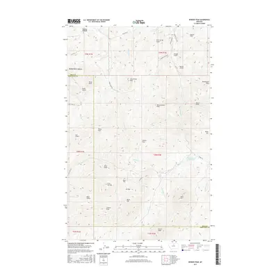
2017 Map of Bowery Peak
USGS Topo · Published 2017About this map
Parker School and the administrative hub of Rocky Boy's Agency anchor this northern Montana landscape, where the Chouteau and Hill County line cuts through high-elevation terrain. The map reveals an intricate network of ridgelines and summits, including Owachikaysis Ridge and Wahwahskaysiw Ridge, reflecting the indigenous heritage of the region. Waterways such as Boxelder Cr and Beaver Cr drain the higher peaks like Bowery Peak and Bailey Peak, leading toward the East Fork Beaver Creek Reservoir in the east. This 2017 survey details a specialized topography of named coulees and gulches, such as Broughs Coulee and Quarter Gulch, alongside isolated high points like Long George Peak and Little Joe Peak. The road system, including Hwy 234 and Parker School Rd, provides access to these remote reaches of the Bearpaw Mountains.
Find a feature on this map
57 named features on this map. Tap any name to fly to it.
Don’t see what you’re looking for? This feature index may not catch every label — zoom into the map to look around manually.
Map Details
Editions of this 2017 Bowery Peak Map
This is the sole edition of this map. No revisions or reprints were ever made.
Other maps of this area
1953 · Havre
USGS Topo · 1:250,000
1957 · Havre
USGS Topo · 1:250,000
1958 · Havre
USGS Topo · 1:250,000
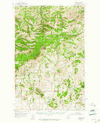
1959 · Warrick
USGS Topo · 1:62,500
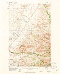
1959 · Laredo
USGS Topo · 1:62,500
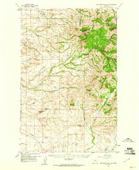
1959 · Centennial Mountain
USGS Topo · 1:62,500
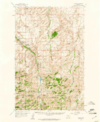
1959 · Shambo
USGS Topo · 1:62,500
1984 · Bearpaw Lake
USGS Topo · 1:24,000
1984 · Big John Butte
USGS Topo · 1:24,000
1984 · Shambo SE
USGS Topo · 1:24,000