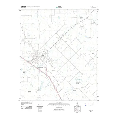
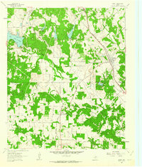
2010 Map of Bowie
USGS Topo · Published 2010About this map
Bowie serves as the central hub of this North Texas landscape, where the intersection of major roads and rail lines anchors the local economy. The surrounding terrain is marked by distinctive elevations such as Cougar Mountain and Grindstone Mountain, while a network of creeks including Denton Creek and Brushy Creek drains the territory. This 2010 survey reveals a landscape heavily influenced by water management and resource extraction, evidenced by numerous Soil Conservation Service sites and the presence of the Mueller Oil Field and Osage Oil Field.
Find a feature on this map
71 named features on this map. Tap any name to fly to it.
Don’t see what you’re looking for? This feature index may not catch every label — zoom into the map to look around manually.
Map Details
Editions of this 2010 Bowie Map
This is the sole edition of this map. No revisions or reprints were ever made.
Other maps of this area
1905 · Montague
USGS Topo · 1:125,000

1954 · Sherman
USGS Topo · 1:250,000

1958 · Sherman
USGS Topo · 1:250,000
1960 · Buzzard Roost Knob
USGS Topo · 1:24,000
1961 · Stoneburg
USGS Topo · 1:24,000
1961 · Salona
USGS Topo · 1:24,000
1961 · Brushy Mound
USGS Topo · 1:24,000
1961 · Selma
USGS Topo · 1:24,000
1961 · Montague
USGS Topo · 1:24,000
1961 · Sunset
USGS Topo · 1:24,000