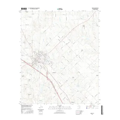
2016 Map of Bowie
USGS Topo · Published 2016About this map
Bowie sits at the heart of this Montague County landscape, serving as a regional hub where local roads like Polk Rd and FM 1816 converge. The surrounding terrain is marked by a series of prominent elevations, including Queens Peak to the north and the southern cluster of Grindstone Mtn, Norton Mtn, and Rattlesnake Mtn. These peaks provide a natural boundary to the agricultural and ranching land that characterizes the area.
Find a feature on this map
140 named features on this map. Tap any name to fly to it.
Don’t see what you’re looking for? This feature index may not catch every label — zoom into the map to look around manually.
Map Details
Editions of this 2016 Bowie Map
This is the sole edition of this map. No revisions or reprints were ever made.
Other maps of this area
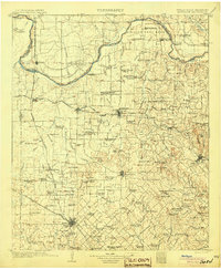
1905 · Montague
USGS Topo · 1:125,000
1954 · Sherman
USGS Topo · 1:250,000
1958 · Sherman
USGS Topo · 1:250,000
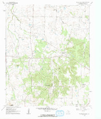
1960 · Buzzard Roost Knob
USGS Topo · 1:24,000
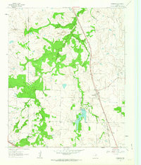
1961 · Stoneburg
USGS Topo · 1:24,000
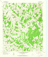
1961 · Salona
USGS Topo · 1:24,000
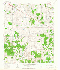
1961 · Brushy Mound
USGS Topo · 1:24,000
1961 · Selma
USGS Topo · 1:24,000
1961 · Montague
USGS Topo · 1:24,000
1961 · Sunset
USGS Topo · 1:24,000