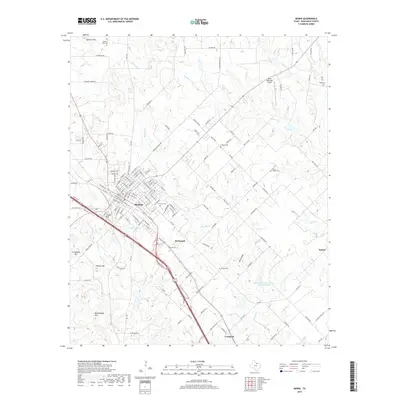
2019 Map of Bowie
USGS Topo · Published 2019About this map
Bowie serves as the primary hub of this Montague County landscape, characterized by a transition from the structured street grid of the town center to the undulating hills of the surrounding countryside. Significant landmarks like Queens Peak and Rattlesnake Mtn rise above the drainage basins of Denton Cr and Brushy Cr, illustrating the rugged topography that defines the region. Local history is etched into the landscape through several burial grounds, including Elmwood Cem near the city and the more remote Saint Peters Cem.
Find a feature on this map
136 named features on this map. Tap any name to fly to it.
Don’t see what you’re looking for? This feature index may not catch every label — zoom into the map to look around manually.
Map Details
Editions of this 2019 Bowie Map
This is the sole edition of this map. No revisions or reprints were ever made.
Other maps of this area
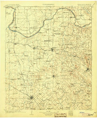
1905 · Montague
USGS Topo · 1:125,000
1954 · Sherman
USGS Topo · 1:250,000
1958 · Sherman
USGS Topo · 1:250,000
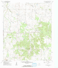
1960 · Buzzard Roost Knob
USGS Topo · 1:24,000
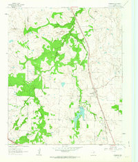
1961 · Stoneburg
USGS Topo · 1:24,000
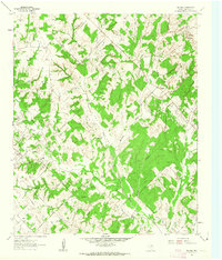
1961 · Salona
USGS Topo · 1:24,000
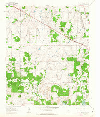
1961 · Brushy Mound
USGS Topo · 1:24,000
1961 · Selma
USGS Topo · 1:24,000
1961 · Montague
USGS Topo · 1:24,000
1961 · Sunset
USGS Topo · 1:24,000