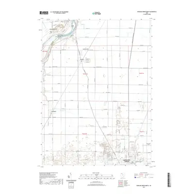
2019 Map of Bowling Green North
USGS Topo · Published 2019About this map
Bowling Green and the surrounding agricultural landscape of Lucas and Wood Counties are shown in this contemporary study of Northwest Ohio. The city's northern edge is anchored by the Bowling Green State University-Main Campus and the Wood County Courthouse, serving as the regional hub for the surrounding townships. The landscape follows a strict grid of township highways and pikes, connecting smaller settlements like Haskins, Tontogany, and Hull Prairie.
Find a feature on this map
81 named features on this map. Tap any name to fly to it.
Don’t see what you’re looking for? This feature index may not catch every label — zoom into the map to look around manually.
Map Details
Editions of this 2019 Bowling Green North Map
This is the sole edition of this map. No revisions or reprints were ever made.
Other maps of this area

1900 · Toledo
USGS Topo · 1:62,500

1901 · Bowling Green
USGS Topo · 1:62,500

1903 · Bowling Green
USGS Topo · 1:62,500

1909 · Mc Clure
USGS Topo · 1:62,500

1911 · Swanton
USGS Topo · 1:62,500

1914 · Swanton
USGS Topo · 1:62,500

1934 · Rossford
USGS Topo · 1:24,000

1935 · Grand Rapids
USGS Topo · 1:24,000

1935 · Whitehouse
USGS Topo · 1:24,000

1935 · Maumee
USGS Topo · 1:24,000