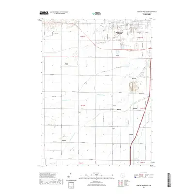
2019 Map of Bowling Green South
USGS Topo · Published 2019About this map
Bowling Green and its southern agricultural periphery are defined by a network of drainage channels and small hamlets in this 2019 Wood County survey. The landscape transitions from the urbanized southern edge of the city, featuring University Pond and Bordner Airport, into a grid of township roads that connect historic small communities like Rudolph, Mermill, and Digby. The hydrology of the region is dominated by the branching system of the Portage River, including the N Br Portage River and Middle Br Portage River, which weave through the farmland.
Find a feature on this map
57 named features on this map. Tap any name to fly to it.
Don’t see what you’re looking for? This feature index may not catch every label — zoom into the map to look around manually.
Map Details
Editions of this 2019 Bowling Green South Map
This is the sole edition of this map. No revisions or reprints were ever made.
Other maps of this area

1901 · Bowling Green
USGS Topo · 1:62,500

1903 · Bowling Green
USGS Topo · 1:62,500

1903 · Findlay
USGS Topo · 1:62,500

1909 · Mc Clure
USGS Topo · 1:62,500

1935 · Grand Rapids
USGS Topo · 1:24,000
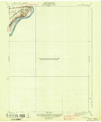
1938 · Tontogany
USGS Topo · 1:31,680

1940 · Grand Rapids
USGS Topo · 1:31,680
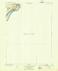
1952 · Tontogany
USGS Topo · 1:24,000
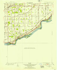
1952 · Grand Rapids
USGS Topo · 1:24,000

1956 · Toledo
USGS Topo · 1:250,000