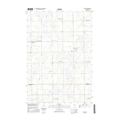
2016 Map of Bowlus
USGS Topo · Published 2016About this map
Bowlus and Elmdale serve as the primary hubs in this central Minnesota landscape, where the convergence of the N Two River and S Two River forms the main stem of the Two River. The area's settlement history is deeply tied to its faith communities, evidenced by the numerous burial grounds concentrated near the towns, including Saint Edward's Church Cem, the Danish Lutheran Church Cem, and the Free Evangelical Church Cem.
Find a feature on this map
61 named features on this map. Tap any name to fly to it.
Don’t see what you’re looking for? This feature index may not catch every label — zoom into the map to look around manually.
Map Details
Editions of this 2016 Bowlus Map
This is the sole edition of this map. No revisions or reprints were ever made.
Other maps of this area

1947 · Flensburg
USGS Topo · 1:25,000

1948 · Little Falls
USGS Topo · 1:62,500

1950 · Swanville
USGS Topo · 1:62,500

1950 · Little Falls
USGS Topo · 1:62,500

1951 · Flensburg
USGS Topo · 1:25,000

1953 · Saint Cloud
USGS Topo · 1:250,000

1957 · Saint Cloud
USGS Topo · 1:250,000

1958 · Saint Cloud
USGS Topo · 1:250,000

1965 · Albany
USGS Topo · 1:24,000

1965 · St Stephen
USGS Topo · 1:24,000