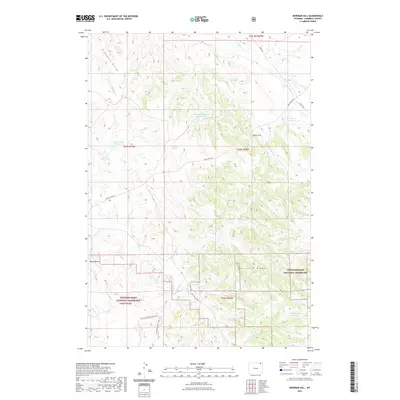
2021 Map of Bowman Hill
USGS Topo · Published 2021About this map
Thunder Basin National Grassland dominates the southern landscape of this northeast Wyoming corner, where the high plains meet complex drainage systems. The terrain is defined by the Eightfive Divide and the broken ground of the Duck Creek Breaks, illustrating a ranching-focused environment where water management is critical. A network of man-made catchments, including McConnell Number 1 Reservoir, Tony Reservoir, and Bates Reservoir, are scattered across the quadrangle, serving as vital infrastructure for the livestock and wildlife in this arid region.
Find a feature on this map
28 named features on this map. Tap any name to fly to it.
Don’t see what you’re looking for? This feature index may not catch every label — zoom into the map to look around manually.
Map Details
Editions of this 2021 Bowman Hill Map
This is the sole edition of this map. No revisions or reprints were ever made.
Other maps of this area

1954 · Gillette
USGS Topo · 1:250,000

1955 · Gillette
USGS Topo · 1:250,000

1958 · Gillette
USGS Topo · 1:250,000

1962 · Gillette
USGS Topo · 1:250,000
1972 · Mitten Butte
USGS Topo · 1:24,000
1972 · Nipple Butte
USGS Topo · 1:24,000
1972 · Bonnie Reservoir
USGS Topo · 1:24,000
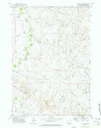
1972 · Tuttle Draw
USGS Topo · 1:24,000
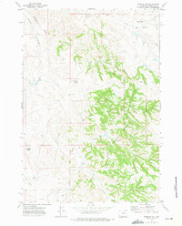
1972 · Bowman Hill
USGS Topo · 1:24,000
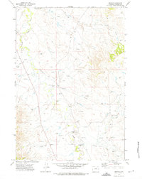
1972 · Weston
USGS Topo · 1:24,000