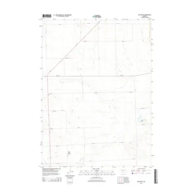
2014 Map of Box Butte
USGS Topo · Published 2014About this map
Wild Horse Butte and the landmark Box Butte anchor this high plains landscape in Box Butte County. The terrain is defined by the winding course of Box Butte Creek, which meanders through the southeastern portion of the quadrangle. This 2014 survey documents a strictly organized rural grid of county roads, including Cass Rd and Dodge Rd, punctuated by the diagonal path of Ne-87. The mapping reflects a region dominated by agricultural parceling, where the natural elevation of the buttes provides the primary relief in an otherwise expansive and open territory. Researchers can observe how modern transport lines like Cherry Rd and Grant Rd conform to the section lines of the Nebraska panhandle, while the creek bed provides the only break in this geometric layout.
Find a feature on this map
14 named features on this map. Tap any name to fly to it.
Don’t see what you’re looking for? This feature index may not catch every label — zoom into the map to look around manually.
Map Details
Editions of this 2014 Box Butte Map
This is the sole edition of this map. No revisions or reprints were ever made.
Other maps of this area
1946 · Berea Creek East
USGS Topo · 1:24,000
1947 · Box Butte NE
USGS Topo · 1:24,000
1947 · Box Butte
USGS Topo · 1:24,000
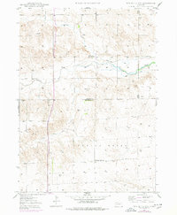
1947 · Box Butte NW
USGS Topo · 1:24,000
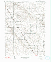
1948 · Berea Creek West
USGS Topo · 1:24,000
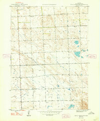
1948 · Berea Creek East
USGS Topo · 1:24,000
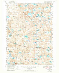
1948 · Antioch
USGS Topo · 1:62,500
1949 · Box Butte NE
USGS Topo · 1:24,000
1949 · Box Butte SW
USGS Topo · 1:24,000
1949 · Antioch
USGS Topo · 1:62,500