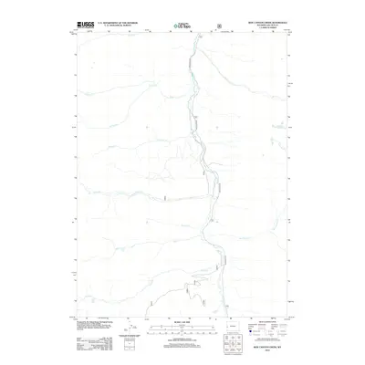
2012 Map of Box Canyon Creek
USGS Topo · Published 2012About this map
Greys River defines the central corridor of this Lincoln County survey, serving as the primary drainage for a network of mountain tributaries. The river valley is traced by Greys River Rd, the principal artery for movement through this high-elevation landscape. The terrain is characterized by a series of significant creeks that flow into the main channel, including Crow Cr, Willow Cr, and Box Canyon Cr.
Find a feature on this map
17 named features on this map. Tap any name to fly to it.
Don’t see what you’re looking for? This feature index may not catch every label — zoom into the map to look around manually.
Map Details
Editions of this 2012 Box Canyon Creek Map
This is the sole edition of this map. No revisions or reprints were ever made.
Other maps of this area
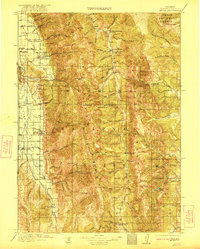
1921 · Afton
USGS Topo · 1:125,000

1955 · Preston
USGS Topo · 1:250,000

1958 · Preston
USGS Topo · 1:250,000

1962 · Preston
USGS Topo · 1:250,000
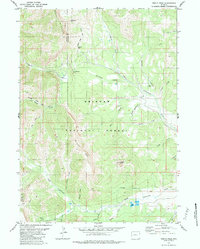
1980 · Triple Peak
USGS Topo · 1:24,000
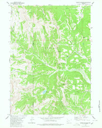
1980 · Mount Schidler
USGS Topo · 1:24,000
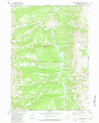
1980 · Box Canyon Creek
USGS Topo · 1:24,000
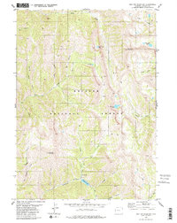
1980 · Red Top Mountain
USGS Topo · 1:24,000
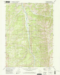
1980 · Park Creek
USGS Topo · 1:24,000
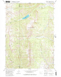
1980 · Wyoming Peak
USGS Topo · 1:24,000