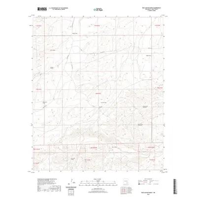
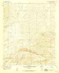
2020 Map of Box Canyon Ranch
USGS Topo · Published 2020About this map
Box Canyon Ranch sits at the center of this landscape in Eddy County, defined by a complex network of arroyos and canyons that drain the high desert. The topography is characterized by deep, winding cuts such as Strychnine Draw, Cat Claw Draw, and Dagger Draw, names that evoke the sharp and hardy vegetation of the New Mexico backcountry. In the southern portion of the quadrangle, the dramatic relief of Box Canyon and Little Box Canyon dominates the terrain, while the northern reaches are marked by Deer Canyon and Buzzard Canyon. This area is accessed by a series of rural routes including Armstrong Rd, Rock Daisy Rd, and Half Hitch Rd, which follow the natural contours of the land to reach isolated ranching outposts.
Find a feature on this map
37 named features on this map. Tap any name to fly to it.
Don’t see what you’re looking for? This feature index may not catch every label — zoom into the map to look around manually.
Map Details
Editions of this 2020 Box Canyon Ranch Map
This is the sole edition of this map. No revisions or reprints were ever made.
Other maps of this area
1940 · Bandanna Point
USGS Topo · 1:62,500
1943 · Bandanna Point
USGS Topo · 1:62,500
1943 · Texas Hill
USGS Topo · 1:62,500
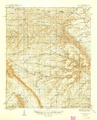
1945 · Texas Hill
USGS Topo · 1:62,500

1954 · Carlsbad
USGS Topo · 1:250,000
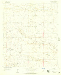
1956 · Parish Ranch
USGS Topo · 1:24,000
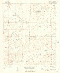
1956 · Antelope Sink
USGS Topo · 1:24,000
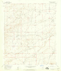
1957 · Foster Ranch
USGS Topo · 1:24,000
1957 · Box Canyon Ranch
USGS Topo · 1:24,000

1958 · Carlsbad
USGS Topo · 1:250,000