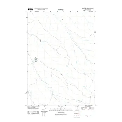
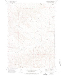
2012 Map of Box Elder Draw
USGS Topo · Published 2012About this map
Hanging Woman Cr and its many tributaries, including Middle Prong Hanging Woman Cr, define this landscape in Sheridan County along the Wyoming-Montana border. The area is characterized by a complex network of ephemeral drainages and namesake topographical features such as North Prong Box Elder Draw and King Draw. The map records several prongs that feed into the larger creek systems, such as Schoolhouse Prong and Grenell Prong, which indicate the specific local nomenclature used to navigate this watershed.
Find a feature on this map
18 named features on this map. Tap any name to fly to it.
Don’t see what you’re looking for? This feature index may not catch every label — zoom into the map to look around manually.
Map Details
Editions of this 2012 Box Elder Draw Map
This is the sole edition of this map. No revisions or reprints were ever made.
Other maps of this area

1954 · Hardin
USGS Topo · 1:250,000

1955 · Sheridan
USGS Topo · 1:250,000

1957 · Hardin
USGS Topo · 1:250,000

1958 · Hardin
USGS Topo · 1:250,000

1958 · Sheridan
USGS Topo · 1:250,000

1962 · Sheridan
USGS Topo · 1:250,000
1971 · Shuler Draw
USGS Topo · 1:24,000
1971 · Roundup Draw
USGS Topo · 1:24,000
1971 · Cabin Creek NW
USGS Topo · 1:24,000
1971 · Gardner Gulch
USGS Topo · 1:24,000