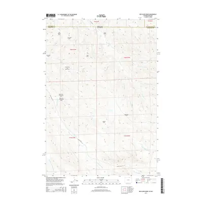
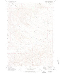
2015 Map of Box Elder Draw
USGS Topo · Published 2015About this map
Hanging Woman Cr and its many seasonal prongs define this corner of the Powder River Basin along the Montana-Wyoming border. The landscape is deeply carved by a network of drainage features like Coal Mine Draw and King Draw, reflecting the underlying geology and resource potential of the region. Near the northern boundary, King Geyser serves as a unique geological landmark amidst the high-plains terrain.
Find a feature on this map
32 named features on this map. Tap any name to fly to it.
Don’t see what you’re looking for? This feature index may not catch every label — zoom into the map to look around manually.
Map Details
Editions of this 2015 Box Elder Draw Map
This is the sole edition of this map. No revisions or reprints were ever made.
Other maps of this area

1954 · Hardin
USGS Topo · 1:250,000

1955 · Sheridan
USGS Topo · 1:250,000

1957 · Hardin
USGS Topo · 1:250,000

1958 · Hardin
USGS Topo · 1:250,000

1958 · Sheridan
USGS Topo · 1:250,000

1962 · Sheridan
USGS Topo · 1:250,000
1971 · Shuler Draw
USGS Topo · 1:24,000
1971 · Roundup Draw
USGS Topo · 1:24,000
1971 · Cabin Creek NW
USGS Topo · 1:24,000
1971 · Gardner Gulch
USGS Topo · 1:24,000