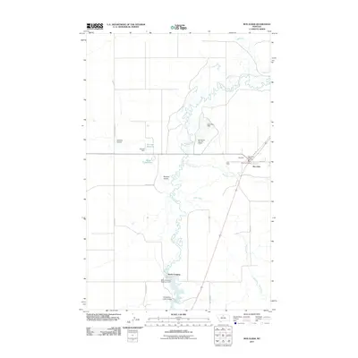
2011 Map of Box Elder
USGS Topo · Published 2011About this map
Big Sandy Creek meanders through this portion of Chouteau County, carving a distinct path through the northern plains landscape. The settlement of Box Elder serves as the primary hub, where local infrastructure is represented by the Box Elder Post Office and the Box Elder Rural Fire Dist. The area's dependence on water management is evident through a network of dams and reservoirs, including the Schmidt Reservoir, Grass Reservoir, and Kamaloop Dam.
Find a feature on this map
27 named features on this map. Tap any name to fly to it.
Don’t see what you’re looking for? This feature index may not catch every label — zoom into the map to look around manually.
Map Details
Editions of this 2011 Box Elder Map
This is the sole edition of this map. No revisions or reprints were ever made.
Other maps of this area

1904 · Boxelder
USGS Topo · 1:62,500

1906 · Boxelder
USGS Topo · 1:62,500

1919 · Big Sandy
USGS Topo · 1:125,000

1953 · Havre
USGS Topo · 1:250,000

1954 · Shelby
USGS Topo · 1:250,000

1957 · Havre
USGS Topo · 1:250,000

1958 · Shelby
USGS Topo · 1:250,000

1958 · Havre
USGS Topo · 1:250,000

1959 · Laredo
USGS Topo · 1:62,500

1959 · Centennial Mountain
USGS Topo · 1:62,500