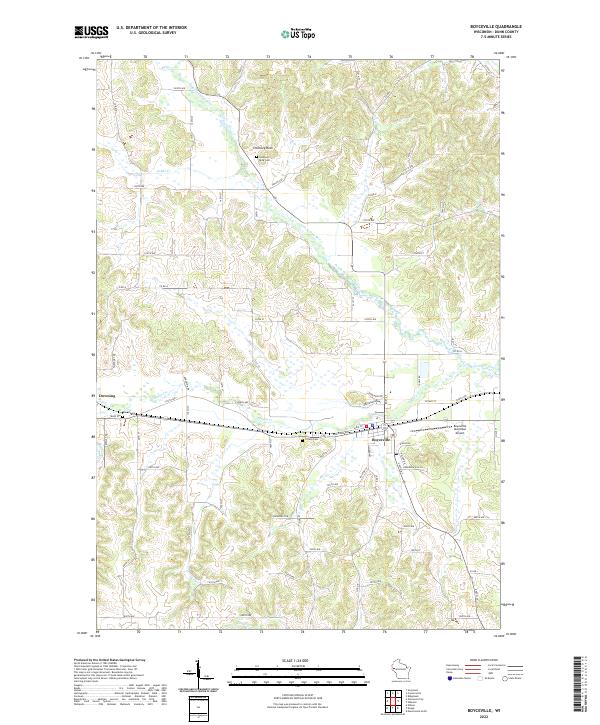
2022 Map of Boyceville
USGS Topo · Published 2022About this map
Boyceville and Downing anchor this section of Dunn County, positioned along the East-West corridor of the Wisconsin central plains. The landscape is defined by the winding course of the South Fork Hay River and its numerous tributaries, including Tiffany Cr and Johns Cr. The presence of several established burial grounds, such as Mound Cem and Tiffany Cem, provides important data points for family historians tracing early regional lineages.
Find a feature on this map
72 named features on this map. Tap any name to fly to it.
Don’t see what you’re looking for? This feature index may not catch every label — zoom into the map to look around manually.
Map Details
Editions of this 2022 Boyceville Map
This is the sole edition of this map. No revisions or reprints were ever made.
Other maps of this area

1940 · Menomonie
USGS Topo · 1:62,500

1942 · Menomonie
USGS Topo · 1:62,500

1946 · Knapp
USGS Topo · 1:62,500

1948 · Downing
USGS Topo · 1:62,500

1949 · Knapp
USGS Topo · 1:62,500

1949 · Ridgeland
USGS Topo · 1:62,500

1950 · Downing
USGS Topo · 1:62,500

1951 · Ridgeland
USGS Topo · 1:62,500

1953 · Saint Paul
USGS Topo · 1:250,000

1953 · Eau Claire
USGS Topo · 1:250,000