
1960 Map of Boyd
USGS Topo · Published 1961About this map
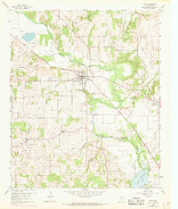
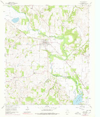
The West Fork Trinity River snakes across this Wise County landscape, defining the topography near the established town of Boyd. By the early 1960s, the area maintained a balanced rural-industrial character, with the Chicago Rock Island and Pacific railroad serving as a primary transit corridor through the river valley. To the south, the map reveals the northern reaches of Eagle Mountain Lake, a significant water feature that influenced local drainage patterns for tributaries like Hog Branch and Lola Creek. Genealogists will find a high density of rural burial sites, including the Arkansas Cem, Stoker Cem, and Pope Cem, reflecting the generations of families who settled the fertile lands between Aurora and Keeter. Small community hubs are marked by landmarks such as Annaville Ch and Pleasant Grove Ch No 2, providing a clear look at the mid-century social geography of north-central Texas.
Find a feature on this map
28 named features on this map. Tap any name to fly to it.
Don’t see what you’re looking for? This feature index may not catch every label — zoom into the map to look around manually.
Map Details
Editions of this 1960 Boyd Map
3 editions found
Other maps of this area

1891 · Weatherford
USGS Topo · 1:125,000

1893 · Weatherford
USGS Topo · 1:125,000

1894 · Fort Worth
USGS Topo · 1:125,000

1924 · Sunset 4-d
USGS Topo · 1:48,000

1930 · Boyd
USGS Topo · 1:62,500

1932 · Springtown
USGS Topo · 1:62,500

1954 · Dallas
USGS Topo · 1:250,000

1954 · Sherman
USGS Topo · 1:250,000

1955 · Avondale
USGS Topo · 1:24,000

1955 · Azle
USGS Topo · 1:24,000