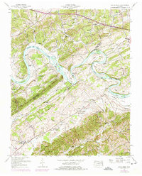
1953 Map of Boyds Creek
USGS Topo · Published 1975About this map
The French Broad River carves a winding path across this landscape, defining the border between Knox and Sevier counties through a series of dramatic loops and islands. This mid-century survey illustrates a rural Tennessee economy tied closely to the water, where Huffaker Ferry and several shoals once dictated travel. Settlement is concentrated in small upland hamlets like Trundle Crossroads, Oak City, and Seymour, while the riverbanks are dotted with family landmarks such as the Johnson Cemetery and Bowman Cemetery.
Find a feature on this map
88 named features on this map. Tap any name to fly to it.
Don’t see what you’re looking for? This feature index may not catch every label — zoom into the map to look around manually.
Map Details
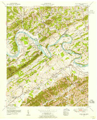
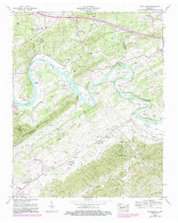
Editions of this 1953 Boyds Creek Map
3 editions found
Other maps of this area

1886 · Knoxville
USGS Topo · 1:125,000

1892 · Knoxville
USGS Topo · 1:125,000

1894 · Knoxville
USGS Topo · 1:125,000

1895 · Knoxville
USGS Topo · 1:125,000

1897 · Maynardville
USGS Topo · 1:125,000

1900 · Maynardville
USGS Topo · 1:125,000

1901 · Knoxville
USGS Topo · 1:125,000

1935 · Mascot
USGS Topo · 1:24,000

1935 · Knoxville
USGS Topo · 1:48,000

1935 · Straw Plains
USGS Topo · 1:48,000