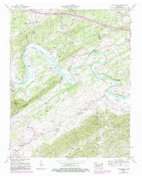
1953 Map of Boyds Creek
USGS Topo · Published 1987About this map
The French Broad River snakes through the heart of this Sevier County landscape, defining the agricultural and social geography of the mid-20th century. Meandering through large bends like Underwood Bend and Ellis Bend, the river is flanked by numerous islands including Brabson Island and Cain Islands. This map captures a community oriented around these waterways and the rising ridges of the Bays Mountains and Slate Knobs.
Find a feature on this map
104 named features on this map. Tap any name to fly to it.
Don’t see what you’re looking for? This feature index may not catch every label — zoom into the map to look around manually.
Map Details
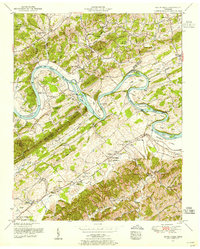
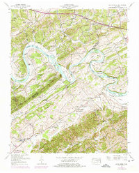
Editions of this 1953 Boyds Creek Map
3 editions found
Other maps of this area

1886 · Knoxville
USGS Topo · 1:125,000

1892 · Knoxville
USGS Topo · 1:125,000

1894 · Knoxville
USGS Topo · 1:125,000

1895 · Knoxville
USGS Topo · 1:125,000

1897 · Maynardville
USGS Topo · 1:125,000

1900 · Maynardville
USGS Topo · 1:125,000

1901 · Knoxville
USGS Topo · 1:125,000

1935 · Mascot
USGS Topo · 1:24,000

1935 · Knoxville
USGS Topo · 1:48,000

1935 · Straw Plains
USGS Topo · 1:48,000