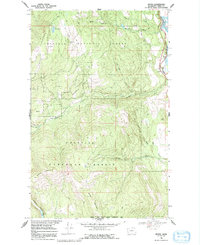
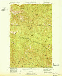
1969 Map of Boyds
USGS Topo · Published 1992About this map
Boyds serves as the focal point for this 1969 topographic study, situated along the Burlington Northern railroad corridor on the western bank of the Kettle River Arm. The landscape is dominated by the steep rises of the Colville National Forest, where watercourses like Deadman Creek and Nancy Creek carve deep valleys through the terrain. The eastern edge of the map shows the transition to the Lake Roosevelt reservoir, protected within the Coulee Dam National Recreation Area. High-elevation landmarks such as Thompson Ridge and Hoodoo Mountain define the western reaches, while the Sherman Creek State Wildlife Recreation Area occupies the southern boundary. This map captures the intersection of critical river-valley transportation routes and the expansive timberlands of Ferry County during the late 1960s.
Find a feature on this map
25 named features on this map. Tap any name to fly to it.
Don’t see what you’re looking for? This feature index may not catch every label — zoom into the map to look around manually.
Map Details
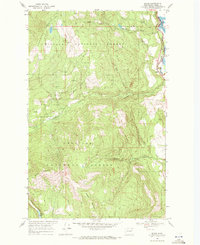
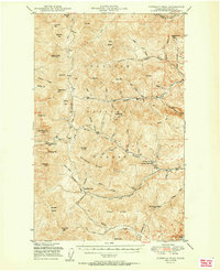
Editions of this 1969 Boyds Map
2 editions found
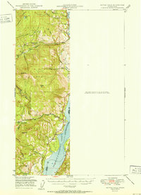
Other maps of this area

1936 · Marcus
USGS Topo · 1:96,000

1942 · Marcus
USGS Topo · 1:125,000
1948 · Sherman Peak
USGS Topo · 1:62,500

1948 · Kettle Falls
USGS Topo · 1:62,500

1948 · Orient
USGS Topo · 1:62,500
1948 · Togo Mountain
USGS Topo · 1:62,500
1951 · Togo Mountain
USGS Topo · 1:62,500
1951 · Sherman Peak
USGS Topo · 1:62,500

1951 · Orient
USGS Topo · 1:62,500
1951 · Kettle Falls
USGS Topo · 1:62,500