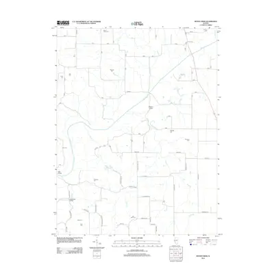
2012 Map of Boyer Creek
USGS Topo · Published 2012About this map
Macoupin Cr and Boyer Cr shape this landscape in Jersey County, where a dense network of family cemeteries speaks to generations of rural settlement. For genealogists, the map is a literal record of local family names, including Mount Gilead Cem, Belt Salem Cem, and Houseman Cem. The terrain is marked by distinct drainages like Drapper Br and Wines Br, which carve into the land to create features such as Dobson Hollow and Shanks Hill.
Find a feature on this map
68 named features on this map. Tap any name to fly to it.
Don’t see what you’re looking for? This feature index may not catch every label — zoom into the map to look around manually.
Map Details
Editions of this 2012 Boyer Creek Map
This is the sole edition of this map. No revisions or reprints were ever made.
Other maps of this area

1924 · Roodhouse
USGS Topo · 1:62,500

1926 · Roodhouse
USGS Topo · 1:62,500

1930 · Pearl
USGS Topo · 1:62,500

1930 · Hardin
USGS Topo · 1:62,500

1930 · Jerseyville
USGS Topo · 1:62,500

1933 · Jerseyville
USGS Topo · 1:62,500

1934 · Hardin
USGS Topo · 1:62,500

1938 · Hardin
USGS Topo · 1:62,500

1948 · Quincy
USGS Topo · 1:250,000

1950 · Pearl
USGS Topo · 1:62,500