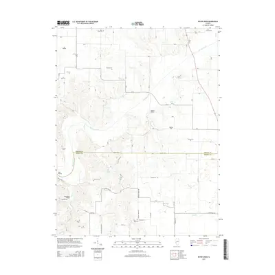
2015 Map of Boyer Creek
USGS Topo · Published 2015About this map
Macoupin Creek meanders across this rural landscape straddling the boundary between Greene Co and Jersey Co. The terrain is defined by deeply carved drainages and named hollows such as Dark Hollow, Dobson Hollow, and Haushalter Hollow. This 2015 survey reveals a country densely populated with family burial grounds and small rural cemeteries, suggesting generations of settlement in this part of Illinois. Notable sites for local researchers include Mount Gilead Cem, Salem Cem, and Houseman Cem, many of which are tucked away along tributary branches like Boyer Cr and Wines Br. The road network is primarily composed of local connectors such as St Marys Rd and Hickory Log Rd, while reliable water sources like Dodson Spring and John Dunham Spring indicate the essential natural features that once anchored local farmsteads.
Find a feature on this map
53 named features on this map. Tap any name to fly to it.
Don’t see what you’re looking for? This feature index may not catch every label — zoom into the map to look around manually.
Map Details
Editions of this 2015 Boyer Creek Map
This is the sole edition of this map. No revisions or reprints were ever made.
Other maps of this area
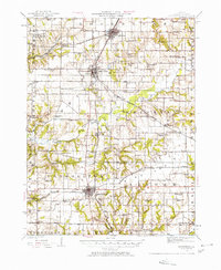
1924 · Roodhouse
USGS Topo · 1:62,500
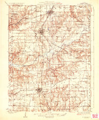
1926 · Roodhouse
USGS Topo · 1:62,500
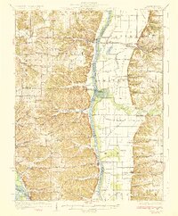
1930 · Pearl
USGS Topo · 1:62,500
1930 · Hardin
USGS Topo · 1:62,500
1930 · Jerseyville
USGS Topo · 1:62,500
1933 · Jerseyville
USGS Topo · 1:62,500
1934 · Hardin
USGS Topo · 1:62,500
1938 · Hardin
USGS Topo · 1:62,500
1948 · Quincy
USGS Topo · 1:250,000
1950 · Pearl
USGS Topo · 1:62,500