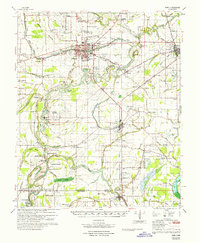
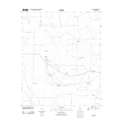
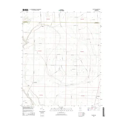
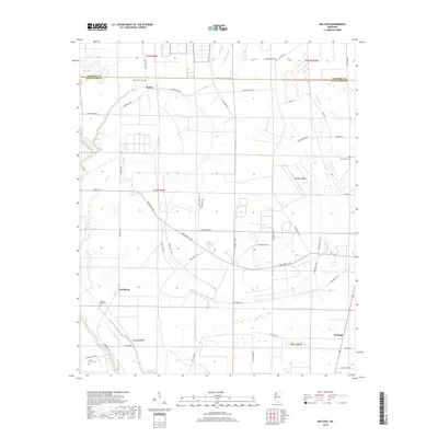
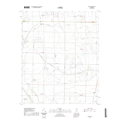
1967 Map of Boyer
USGS Topo · Published 1968About this map
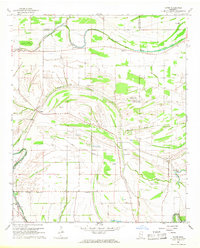
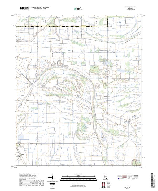
Porter Bayou and Bear Bayou wind through this section of the Mississippi Delta, defining a landscape of agricultural drainage and scattered rural congregations. In the late 1960s, the area around Boyer and Frazier was characterized by a high density of community centers, particularly churches such as St Peter Ch and Pleasant Grove Ch. The presence of the Big Sunflower River on the eastern edge and several aviation markers, including the Cottonwing Landing Strip, suggests a region where traditional river-based boundaries met modern crop-dusting needs. Local genealogists may find value in the specific locations of the Mt Calvary Cem and Pilgrim Rest Ch Cem, while the intricate network of distributaries like Indian Bayou and Moorhead Bayou illustrates the complex hydrology of Sunflower and Bolivar counties.
Find a feature on this map
35 named features on this map. Tap any name to fly to it.
Don’t see what you’re looking for? This feature index may not catch every label — zoom into the map to look around manually.
Map Details
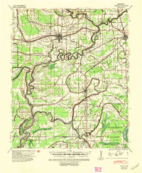
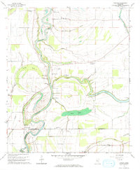
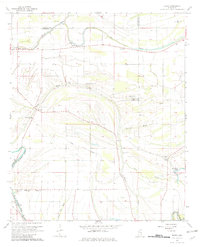
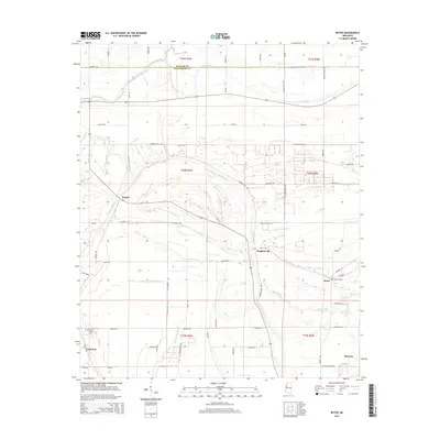
Editions of this 1967 Boyer Map
2 editions found
Historical Maps of Faisonia Through Time
27 maps found
1940 Baird
Sunflower County, MS
1965 Kinlock
Sunflower County, MS
1966 Baltzer
Sunflower County, MS
1967 Baird
Sunflower County, MS
1967 Boyer
Sunflower County, MS
1974 Sumner SW
Sunflower County, MS
1983 Brooks
Sunflower County, MS
2012 Baltzer
Sunflower County, MS
2012 Boyer
Sunflower County, MS
2012 Brooks
Sunflower County, MS
2012 Kinlock
Sunflower County, MS
2015 Baltzer
Sunflower County, MS
2015 Boyer
Sunflower County, MS
2015 Brooks
Sunflower County, MS
2015 Kinlock
Sunflower County, MS
2018 Baltzer
Sunflower County, MS
2018 Boyer
Sunflower County, MS
2018 Brooks
Sunflower County, MS
2018 Kinlock
Sunflower County, MS
2020 Baltzer
Sunflower County, MS
2020 Boyer
Sunflower County, MS
2020 Brooks
Sunflower County, MS
2020 Kinlock
Sunflower County, MS
2024 Baltzer
Sunflower County, MS
2024 Boyer
Sunflower County, MS
2024 Brooks
Sunflower County, MS
2024 Kinlock
Sunflower County, MS