
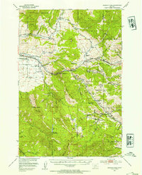
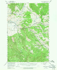
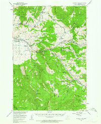
1951 Map of Bozeman Pass
USGS Topo · Published 1978About this map
Industrial history and mountain agriculture define this 1951 survey of the Gallatin Range. The area southeast of the East Gallatin River shows a concentrated mining and processing hub, anchored by the Anaconda Copper Mines and the nearby Coke Ovens (Ruins) at Storrs Mine. These sites were vital to the regional economy, supported by the Northern Pacific railroad winding through Muir and Bozeman Pass.
Find a feature on this map
95 named features on this map. Tap any name to fly to it.
Don’t see what you’re looking for? This feature index may not catch every label — zoom into the map to look around manually.
Map Details
Editions of this 1951 Bozeman Pass Map
5 editions found
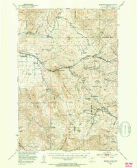
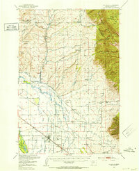
Other maps of this area

1888 · Three Forks
USGS Topo · 1:250,000

1891 · Livingston
USGS Topo · 1:250,000

1893 · Livingston
USGS Topo · 1:250,000

1894 · Three Forks
USGS Topo · 1:250,000

1895 · Three Forks
USGS Topo · 1:250,000

1947 · Bozeman
USGS Topo · 1:250,000

1948 · Bozeman
USGS Topo · 1:250,000
1950 · Belgrade
USGS Topo · 1:62,500
1951 · Bozeman Pass
USGS Topo · 1:62,500
1951 · Gobblers Knob
USGS Topo · 1:24,000