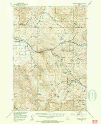
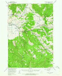
1951 Map of Bozeman Pass
USGS Topo · Published 1954About this map
Northern Pacific rail lines and the winding Bridger Canyon Road define the transit corridors of the Gallatin Valley and the surrounding peaks in the early 1950s. This survey records a landscape transitioning from an industrial mining past toward educational and recreational uses. To the east of the Radio Station (KXLQ) Tower, researchers can locate several rural educational sites, including Mt Ellis Academy, Lower Bridger School, and La Motte School. The industrial history of the pass is particularly visible near the Bozeman Pass Beacon, where numerous coal and copper operations once worked the slopes. Labels such as the Coke Ovens (Ruins), Mountainside Mine, and Anaconda Copper Mines indicate a legacy of heavy extraction, while the Bozeman Ski Lodge and Federal Fish Hatchery point toward the area's emerging twentieth-century character.
Find a feature on this map
74 named features on this map. Tap any name to fly to it.
Don’t see what you’re looking for? This feature index may not catch every label — zoom into the map to look around manually.
Map Details
Editions of this 1951 Bozeman Pass Map
5 editions found
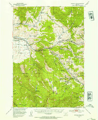
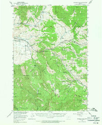

Other maps of this area

1888 · Three Forks
USGS Topo · 1:250,000

1891 · Livingston
USGS Topo · 1:250,000

1893 · Livingston
USGS Topo · 1:250,000

1894 · Three Forks
USGS Topo · 1:250,000

1895 · Three Forks
USGS Topo · 1:250,000

1947 · Bozeman
USGS Topo · 1:250,000

1948 · Bozeman
USGS Topo · 1:250,000
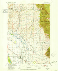
1950 · Belgrade
USGS Topo · 1:62,500
1951 · Bozeman Pass
USGS Topo · 1:62,500
1951 · Gobblers Knob
USGS Topo · 1:24,000