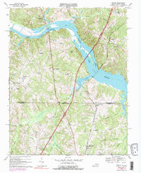
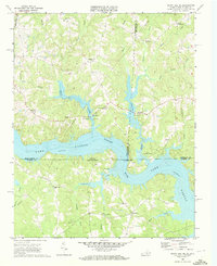
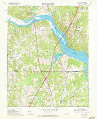
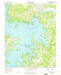
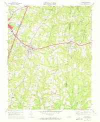
1968 Map of Bracey
USGS Topo · Published 1979About this map
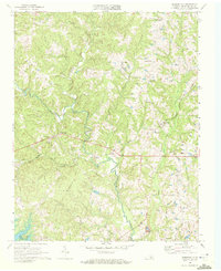
Lake Gaston dominates the landscape of this borderland, where the Roanoke River was impounded to create a massive reservoir during the mid-20th century. This 1968 survey, revised in the late 1970s, captures the rural character of the Mecklenburg County countryside as it transitions from traditional river-valley agriculture to a lakeside geography. Notable transport infrastructure includes the Seaboard Coast Line railroad and the Goodes Ferry Bridge, which spans the newer waters.
Find a feature on this map
41 named features on this map. Tap any name to fly to it.
Don’t see what you’re looking for? This feature index may not catch every label — zoom into the map to look around manually.
Map Details
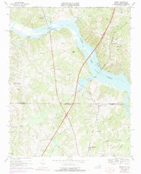
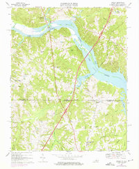
Editions of this 1968 Bracey Map
4 editions found
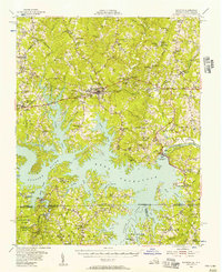
Other maps of this area

1953 · Greensboro
USGS Topo · 1:250,000

1954 · Greensboro
USGS Topo · 1:250,000
1955 · Boydton
USGS Topo · 1:62,500

1962 · Greensboro
USGS Topo · 1:250,000

1966 · Greensboro
USGS Topo · 1:250,000
1968 · South Hill SE
USGS Topo · 1:24,000
1968 · Bracey
USGS Topo · 1:24,000
1968 · John H Kerr Dam
USGS Topo · 1:24,000
1968 · La Crosse
USGS Topo · 1:24,000
1968 · Baskerville
USGS Topo · 1:24,000