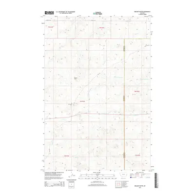
2014 Map of Bracket Butte
USGS Topo · Published 2014About this map
Bracket Butte rises as a prominent landmark in this eastern Montana landscape, situated near the boundary between Custer and Fallon Counties. The area is defined by a dendritic network of seasonal drainages, including the N Fork Cottonwood Cr and S Fork Cottonwood Cr, which converge to shape the local topography. This region represents the high plains ranching country of the early 21st century, where human activity is centered on a sparse network of section-line roads and highway corridors. The presence of the Cottonwood Cem near the center of the sheet indicates a long-standing local community footprint in this rural stretch of the state. Transportation is anchored by Us-12, which cuts across the terrain, supplemented by local routes like Whitney Cr Rd and 11 Mile Rd that serve the outlying ranch lands.
Find a feature on this map
21 named features on this map. Tap any name to fly to it.
Don’t see what you’re looking for? This feature index may not catch every label — zoom into the map to look around manually.
Map Details
Editions of this 2014 Bracket Butte Map
This is the sole edition of this map. No revisions or reprints were ever made.
Other maps of this area

1953 · Miles City
USGS Topo · 1:250,000

1957 · Miles City
USGS Topo · 1:250,000

1958 · Miles City
USGS Topo · 1:250,000

1969 · Little Whitney Creek
USGS Topo · 1:24,000

1969 · Knowlton
USGS Topo · 1:24,000

1969 · Montague Butte
USGS Topo · 1:24,000

1980 · Terry
USGS Topo · 1:100,000
1980 · Miles City
USGS Topo · 1:100,000

1981 · Baker
USGS Topo · 1:100,000
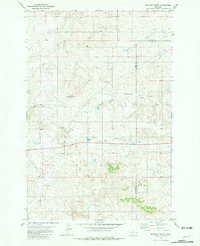
1981 · Bracket Butte
USGS Topo · 1:24,000