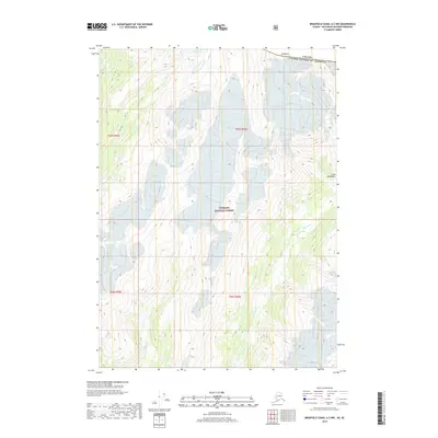
2018 Map of Bradfield Canal A-2 NW
USGS Topo · Published 2018About this map
Tongass National Forest dominates this high-latitude terrain along the international boundary between the United States and Canada. The landscape is defined by the heavy glaciated reaches of the Coast Mountains, where elevation and ice fields dictate the flow of water. The Leduc River winds through the southeastern portion of the quadrangle, carving a deep valley through the mountainous interior. In the northern section, Smith Lake sits near the base of slopes rising toward Mt Blaine, which marks a significant high point along the border. This 2018 survey provides an exact look at the contemporary glacial extent and drainage patterns in a region where few permanent settlements exist, focusing instead on the dramatic physical geography of the Canada United States of America border region.
Find a feature on this map
10 named features on this map. Tap any name to fly to it.
Don’t see what you’re looking for? This feature index may not catch every label — zoom into the map to look around manually.
Map Details
Editions of this 2018 Bradfield Canal A-2 NW Map
This is the sole edition of this map. No revisions or reprints were ever made.
Other maps of this area

1951 · Bradfield Canal
USGS Topo · 1:250,000

1954 · Bradfield Canal
USGS Topo · 1:250,000

1955 · Bradfield canal B-2
USGS Topo · 1:63,360

1955 · Bradfield canal B-3
USGS Topo · 1:63,360

1955 · Bradfield canal A-2
USGS Topo · 1:63,360

1955 · Bradfield canal A-3
USGS Topo · 1:63,360

1955 · Bradfield Canal
USGS Topo · 1:250,000
1973 · Bradfield Canal B-2
USGS Topo · 1:63,360
2000 · Bradfield Canal A-2
USGS Topo · 1:63,360
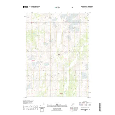
2018 · Bradfield Canal A-3 SE
USGS Topo · 1:25,000