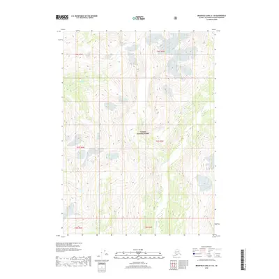
2018 Map of Bradfield Canal A-3 SE
USGS Topo · Published 2018About this map
Leduc River and Klahini River carve through this high-elevation glacial landscape within the southern reaches of the Tongass National Forest. The map illustrates a series of sharp ridges and deep river valleys typical of the Alaskan panhandle, where steep vertical gradients define the movement of water and ice. These drainage systems are central to the region’s topography, showing the complex interplay between fluvial action and the massive ice fields that have shaped the Ketchikan Gateway Borough. Surveyed in 2018, the map highlights the immense scale of the Tongass National Forest by documenting its interior peaks and glacial runoff patterns, providing a precise record of the hydrologic network that feeds into the broader Bradfield Canal system.
Find a feature on this map
9 named features on this map. Tap any name to fly to it.
Don’t see what you’re looking for? This feature index may not catch every label — zoom into the map to look around manually.
Map Details
Editions of this 2018 Bradfield Canal A-3 SE Map
This is the sole edition of this map. No revisions or reprints were ever made.
Other maps of this area

1951 · Bradfield Canal
USGS Topo · 1:250,000

1952 · Ketchikan
USGS Topo · 1:250,000

1954 · Bradfield Canal
USGS Topo · 1:250,000

1955 · Ketchikan D-2
USGS Topo · 1:63,360

1955 · Bradfield canal A-2
USGS Topo · 1:63,360

1955 · Ketchikan D-3
USGS Topo · 1:63,360

1955 · Bradfield canal A-3
USGS Topo · 1:63,360

1955 · Ketchikan
USGS Topo · 1:250,000

1955 · Bradfield Canal
USGS Topo · 1:250,000
1996 · Ketchikan D-3
USGS Topo · 1:63,360