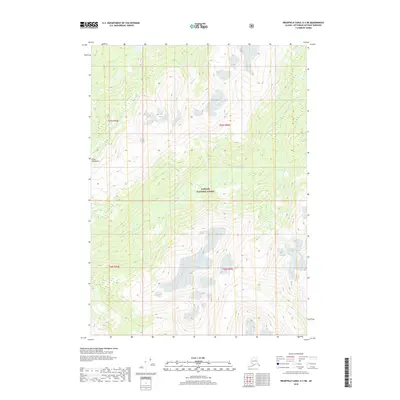
2018 Map of Bradfield Canal A-3 NE
USGS Topo · Published 2018About this map
Tongass National Forest dominates this section of the Alaskian panhandle, where the high-altitude terrain of the Coast Mountains shapes the drainage of the region. The map focuses on a network of mountain valleys and peaks, most notably those surrounding the upper reaches of Lake Cr. This survey illustrates the intricate hydrography of the Southeast Alaska wilderness, where countless unnamed seasonal streams feed into more permanent watercourses like Lake Cr. The landscape is defined by its verticality, captured here with detailed contour intervals that reveal the steep rises from the valley floors to the jagged ridgelines of the Coast range. This 2018 edition provides a modern topographic perspective of a region largely untouched by permanent settlements or roads, serving as a primary reference for the natural geography within the Tongass National Forest.
Find a feature on this map
7 named features on this map. Tap any name to fly to it.
Don’t see what you’re looking for? This feature index may not catch every label — zoom into the map to look around manually.
Map Details
Editions of this 2018 Bradfield Canal A-3 NE Map
This is the sole edition of this map. No revisions or reprints were ever made.
Other maps of this area

1951 · Bradfield Canal
USGS Topo · 1:250,000

1954 · Bradfield Canal
USGS Topo · 1:250,000

1955 · Bradfield canal B-2
USGS Topo · 1:63,360

1955 · Bradfield canal B-3
USGS Topo · 1:63,360

1955 · Bradfield canal A-2
USGS Topo · 1:63,360

1955 · Bradfield canal A-3
USGS Topo · 1:63,360

1955 · Bradfield Canal
USGS Topo · 1:250,000
1973 · Bradfield Canal B-2
USGS Topo · 1:63,360
2000 · Bradfield Canal A-2
USGS Topo · 1:63,360
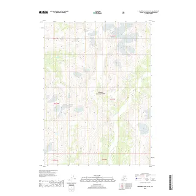
2018 · Bradfield Canal A-3 SE
USGS Topo · 1:25,000