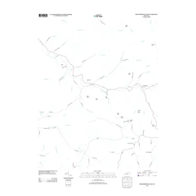
2013 Map of Bradfordsville NE
USGS Topo · Published 2013About this map
Jacktown anchors the eastern edge of this landscape, situated near the headwaters of the Big S Fork. The terrain is defined by a dense network of ridges and knobs, including Bald Knob, Turkey Pen Knob, and Button Knob, where the Button Knob Lookout Tower stands as a prominent landmark. This 2013 survey illustrates a rural Kentucky topography shaped by deeply etched drainage patterns from creeks like Traverse Cr, McAnelly Br, and Robinson Cr.
Find a feature on this map
81 named features on this map. Tap any name to fly to it.
Don’t see what you’re looking for? This feature index may not catch every label — zoom into the map to look around manually.
Map Details
Editions of this 2013 Bradfordsville NE Map
This is the sole edition of this map. No revisions or reprints were ever made.
Other maps of this area

1905 · Harrodsburg
USGS Topo · 1:125,000

1952 · Ellisburg
USGS Topo · 1:24,000

1952 · Clementsville
USGS Topo · 1:24,000

1952 · Liberty
USGS Topo · 1:24,000

1952 · Mannsville
USGS Topo · 1:24,000

1952 · Bradfordsville
USGS Topo · 1:24,000

1952 · Parksville
USGS Topo · 1:24,000

1953 · Bradfordsville NE
USGS Topo · 1:24,000

1953 · Gravel Switch
USGS Topo · 1:24,000

1953 · Lebanon East
USGS Topo · 1:24,000