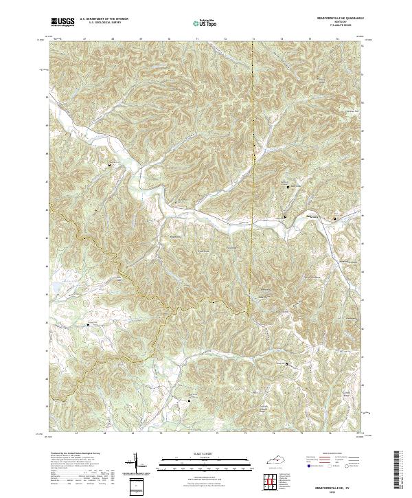
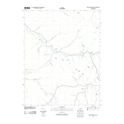
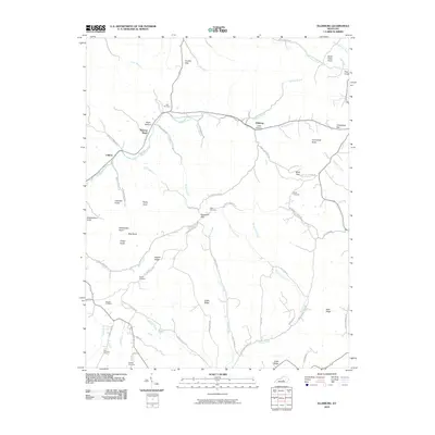
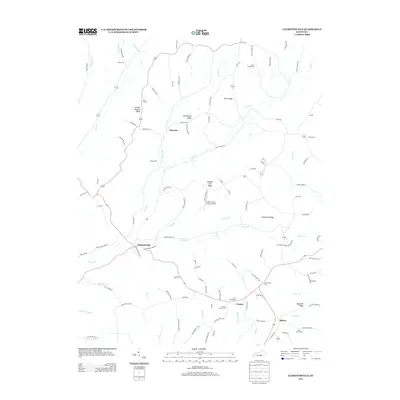
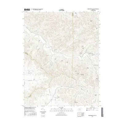
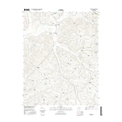
2022 Map of Bradfordsville NE
USGS Topo · Published 2022About this map
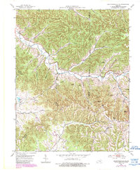
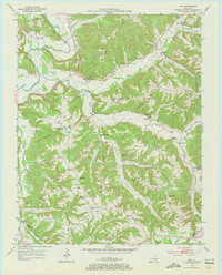
Jacktown serves as a central point of reference in this landscape defined by the intersection of Marion, Taylor, and Casey counties. The terrain is characterized by a series of prominent knobs and ridges, including Chicken Gizzard Ridge, Turkey Pen Knob, and the local landmark Bald Knob. Waterways such as the Big South Fork and Robinson Creek wind through the valleys, dictating the placement of early roads and small family-named settlements.
Find a feature on this map
76 named features on this map. Tap any name to fly to it.
Don’t see what you’re looking for? This feature index may not catch every label — zoom into the map to look around manually.
Map Details
Editions of this 2022 Bradfordsville NE Map
This is the sole edition of this map. No revisions or reprints were ever made.
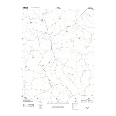
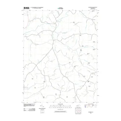
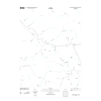
Historical Maps of Jacktown Through Time
30 maps found
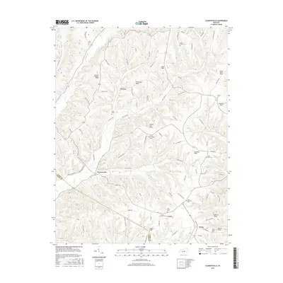
1952 Clementsville
Casey County, KY
1952 Ellisburg
Casey County, KY
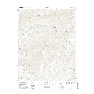
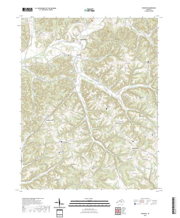
1952 Yosemite
Casey County, KY
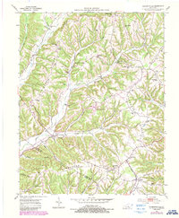
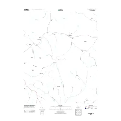
1953 Bradfordsville NE
Casey County, KY
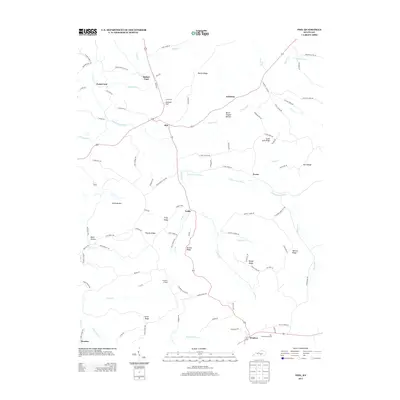
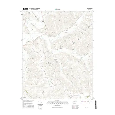
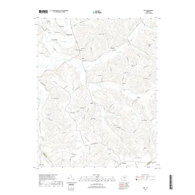
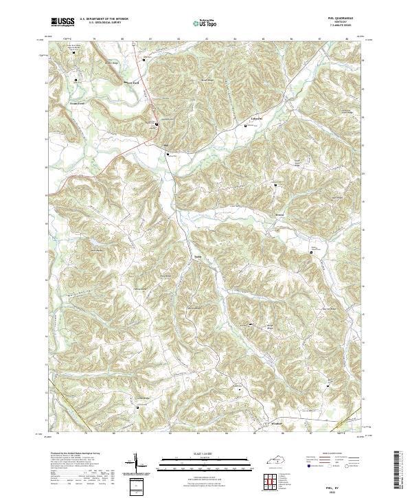
1953 Phil
Casey County, KY
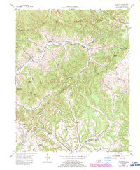
2010 Bradfordsville NE
Casey County, KY
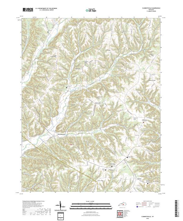
2010 Clementsville
Casey County, KY
2010 Ellisburg
Casey County, KY
2010 Phil
Casey County, KY
2010 Yosemite
Casey County, KY
2013 Bradfordsville NE
Casey County, KY
2013 Clementsville
Casey County, KY
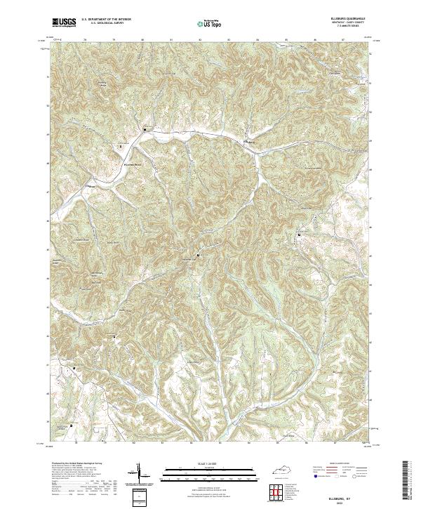
2013 Ellisburg
Casey County, KY
2013 Phil
Casey County, KY
2013 Yosemite
Casey County, KY
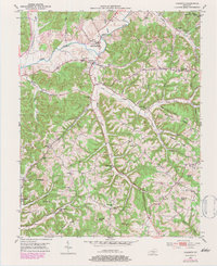
2016 Bradfordsville NE
Casey County, KY
2016 Clementsville
Casey County, KY
2016 Ellisburg
Casey County, KY
2016 Phil
Casey County, KY
2016 Yosemite
Casey County, KY
2019 Bradfordsville NE
Casey County, KY
2019 Clementsville
Casey County, KY
2019 Ellisburg
Casey County, KY
2019 Phil
Casey County, KY
2019 Yosemite
Casey County, KY
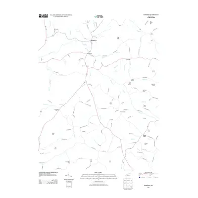
2022 Bradfordsville NE
Casey County, KY
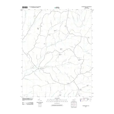
2022 Clementsville
Casey County, KY
2022 Ellisburg
Casey County, KY
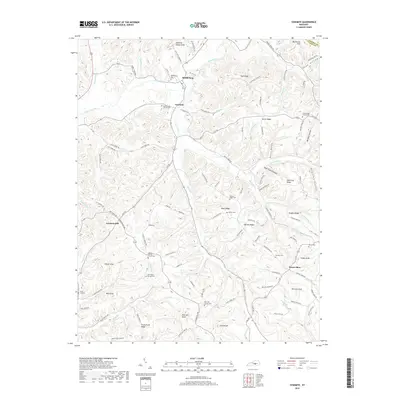
2022 Phil
Casey County, KY
2022 Yosemite
Casey County, KY