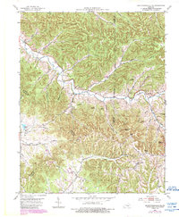
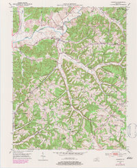
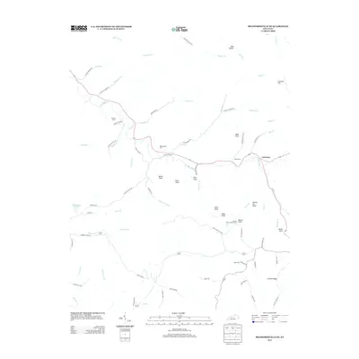
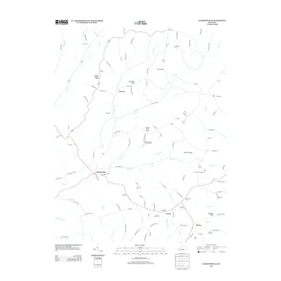
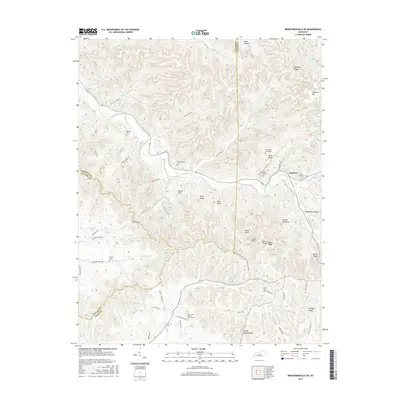
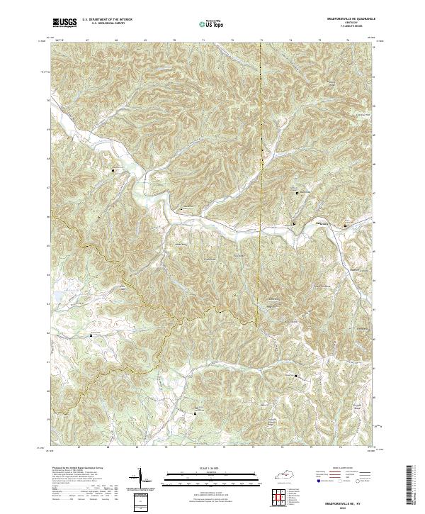
1953 Map of Bradfordsville NE
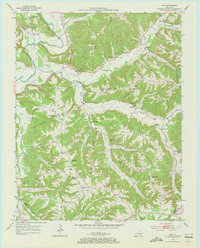
USGS Topo · Published 1988About this map
The South Fork Big Creek and its many tributaries carve through the central Kentucky landscape near the triple junction of Marion, Casey, and Taylor Counties. The area's mid-century rural character is defined by ridge-and-hollow topography, where small settlements and community hubs are often named for the terrain, such as Jacktown and the cluster at Sapp. Local genealogy is well-documented through scattered family-named sites including Wayman Cem, Weatherford Cem, and the Shreve Cem. Educational and spiritual life centered on landmarks like Atwood Sch and Pleasant Valley Ch, while more remote elevations are anchored by prominent heights like Bald Knob and Steele Knob. A significant pipe line corridor cuts across the southern portion of the map, illustrating the post-war expansion of energy infrastructure through the rural Dividing Ridge country.
Find a feature on this map
44 named features on this map. Tap any name to fly to it.
Don’t see what you’re looking for? This feature index may not catch every label — zoom into the map to look around manually.
Map Details
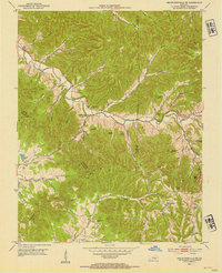
Editions of this 1953 Bradfordsville NE Map
2 editions found
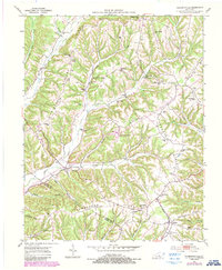
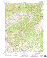
Historical Maps of Jacktown Through Time
30 maps found
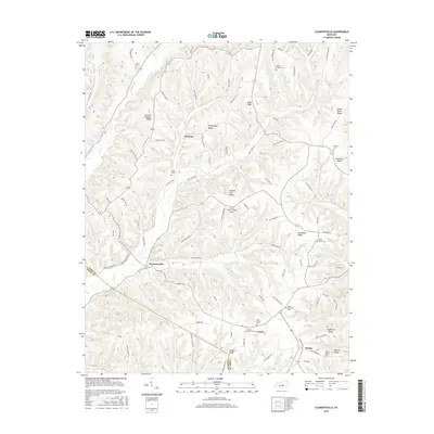
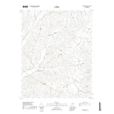
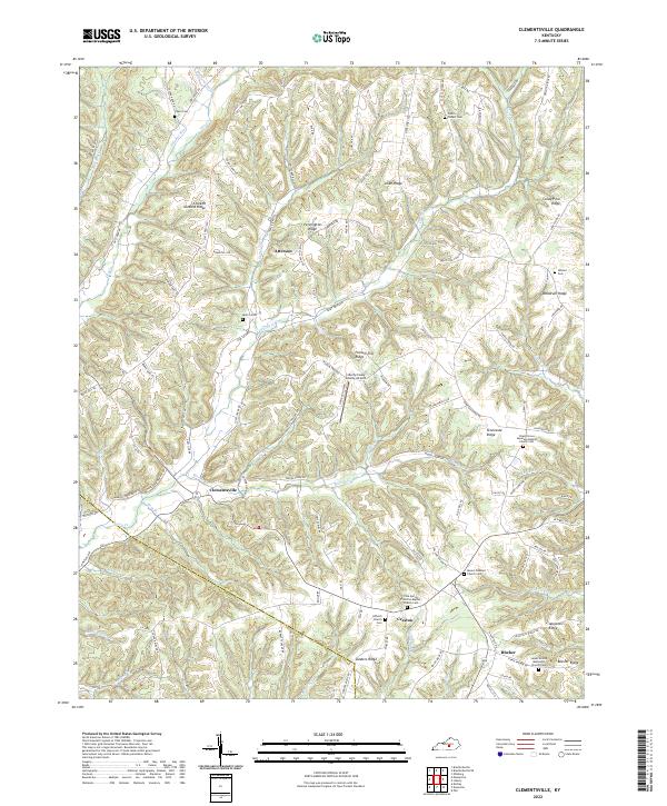
1952 Clementsville
Casey County, KY
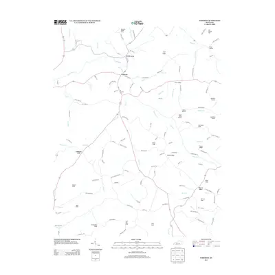
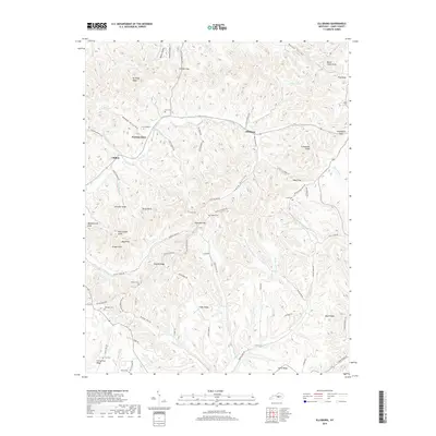
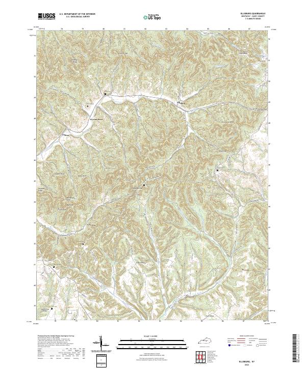
1952 Ellisburg
Casey County, KY
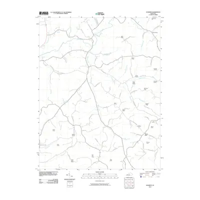
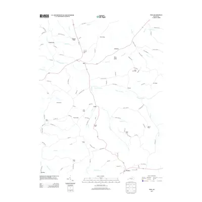
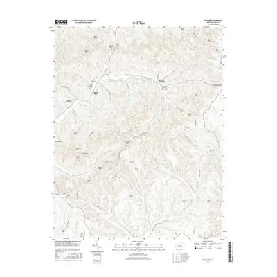
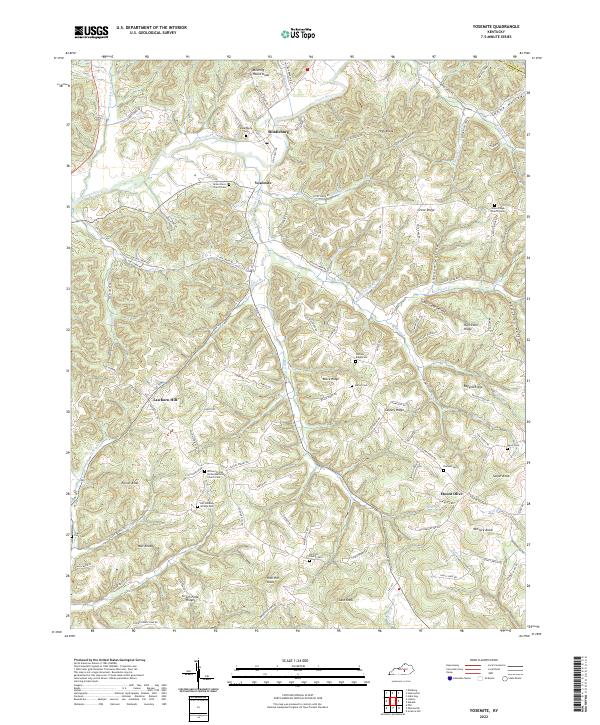
1952 Yosemite
Casey County, KY
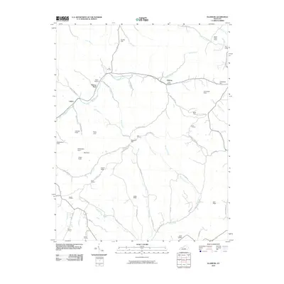
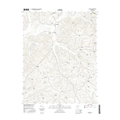
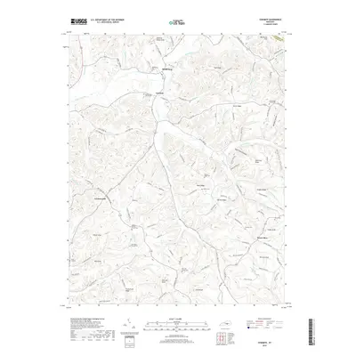
1953 Bradfordsville NE
Casey County, KY
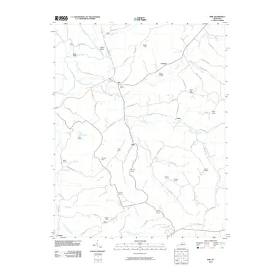
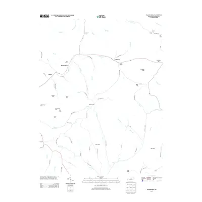
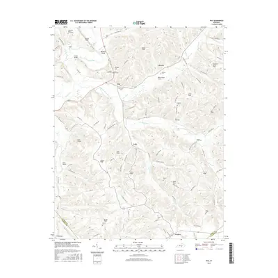
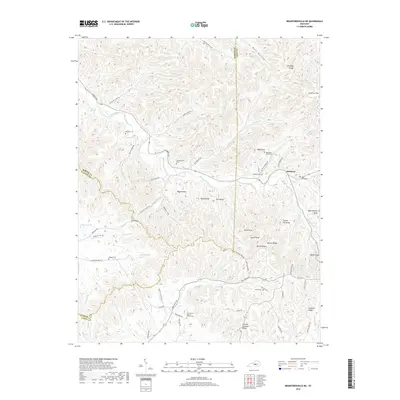
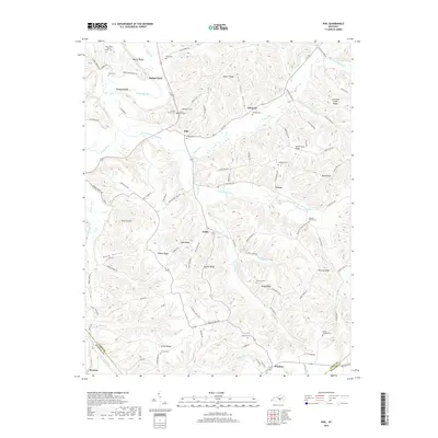
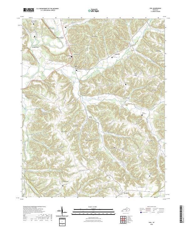
1953 Phil
Casey County, KY
2010 Bradfordsville NE
Casey County, KY
2010 Clementsville
Casey County, KY
2010 Ellisburg
Casey County, KY
2010 Phil
Casey County, KY
2010 Yosemite
Casey County, KY
2013 Bradfordsville NE
Casey County, KY
2013 Clementsville
Casey County, KY
2013 Ellisburg
Casey County, KY
2013 Phil
Casey County, KY
2013 Yosemite
Casey County, KY
2016 Bradfordsville NE
Casey County, KY
2016 Clementsville
Casey County, KY
2016 Ellisburg
Casey County, KY
2016 Phil
Casey County, KY
2016 Yosemite
Casey County, KY
2019 Bradfordsville NE
Casey County, KY
2019 Clementsville
Casey County, KY
2019 Ellisburg
Casey County, KY
2019 Phil
Casey County, KY
2019 Yosemite
Casey County, KY
2022 Bradfordsville NE
Casey County, KY
2022 Clementsville
Casey County, KY
2022 Ellisburg
Casey County, KY
2022 Phil
Casey County, KY
2022 Yosemite
Casey County, KY