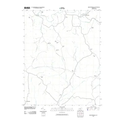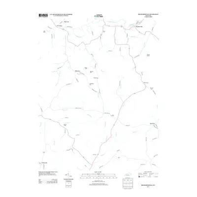
2022 Map of Bradfordsville
USGS Topo · Published 2022About this map
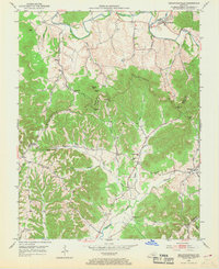
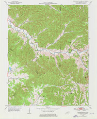
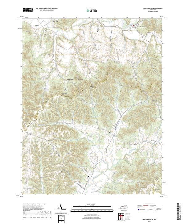
Bradfordsville serves as the primary hub in this central Kentucky landscape, situated where the North Rolling Fork and Rolling Fork converge. The topography is defined by the significant rise of Muldraugh Hill, a prominent escarpment that separates the river valleys from the higher ridges. The rural character of the area is emphasized by dispersed settlements like Salleetown, Merrimac, and Wooleyville, each connected by a network of winding roads such as Spurlington Rd and Bradfordsville Rd.
Find a feature on this map
83 named features on this map. Tap any name to fly to it.
Don’t see what you’re looking for? This feature index may not catch every label — zoom into the map to look around manually.
Map Details
Editions of this 2022 Bradfordsville Map
This is the sole edition of this map. No revisions or reprints were ever made.
Historical Maps of Bradfordsville Through Time
7 maps found