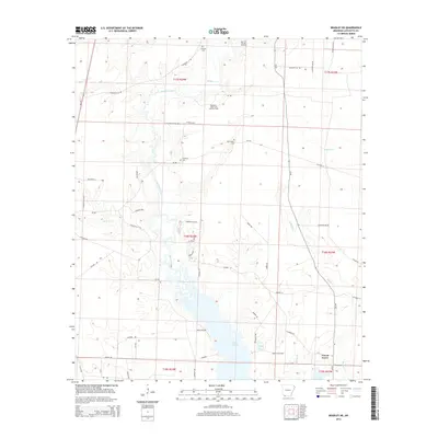
2014 Map of Bradley NE
USGS Topo · Published 2014About this map
Lake Erling dominates the southern landscape of this Lafayette County region, where the wooded bottoms of Bodcau Creek and Walker Cr converge. The area’s economic history is defined by its natural resources, evidenced by the presence of the Mars Hill Oil and Gas Field and the McKamie-Patton Oil and Gas Field in the northern sections. These energy operations sit alongside traditional rural landmarks, including the Forest Grove settlement and several family-named burial grounds such as Demoss Cem, McClendon Cem, and the Primitive Cem.
Find a feature on this map
57 named features on this map. Tap any name to fly to it.
Don’t see what you’re looking for? This feature index may not catch every label — zoom into the map to look around manually.
Map Details
Editions of this 2014 Bradley NE Map
This is the sole edition of this map. No revisions or reprints were ever made.
Other maps of this area

1952 · Bradley
USGS Topo · 1:24,000

1952 · Garland
USGS Topo · 1:24,000

1952 · Bradley NE
USGS Topo · 1:24,000

1952 · Canfield
USGS Topo · 1:24,000

1952 · Lewisville
USGS Topo · 1:24,000

1952 · Bradley SE
USGS Topo · 1:24,000

1953 · El Dorado
USGS Topo · 1:250,000

1957 · El Dorado
USGS Topo · 1:250,000

1958 · El Dorado
USGS Topo · 1:250,000

1960 · El Dorado
USGS Topo · 1:250,000