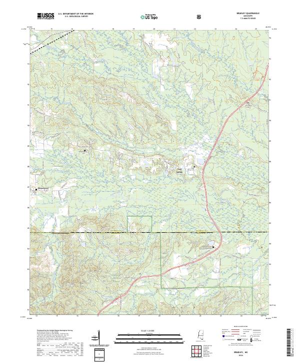
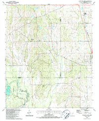
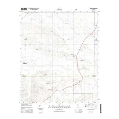
2024 Map of Bradley
USGS Topo · Published 2024About this map
Morgantown and Craig Springs anchor this landscape along the border of Oktibbeha and Winston counties. The terrain is defined by the winding course of the Noxubee River and its numerous tributaries, including Cypress Creek, Sand Creek, and Panther Creek. Large portions of the eastern and southern areas are dedicated to the Sam D Hamilton Noxubee National Wildlife Refuge and the Tombigbee National Forest, preserving the wooded character of the region.
Find a feature on this map
59 named features on this map. Tap any name to fly to it.
Don’t see what you’re looking for? This feature index may not catch every label — zoom into the map to look around manually.
Map Details
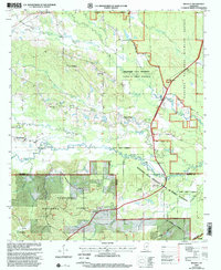
Editions of this 2024 Bradley Map
This is the sole edition of this map. No revisions or reprints were ever made.
Historical Maps of Craig Springs Through Time
31 maps found

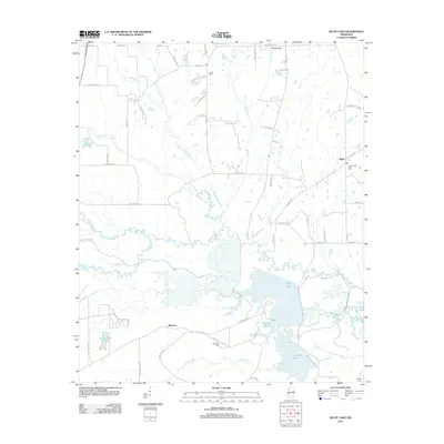
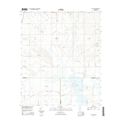
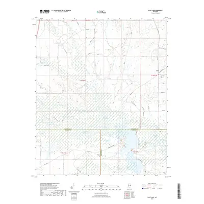
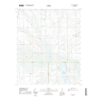
1965 Bluff Lake
Oktibbeha County, MS
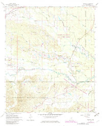
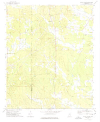
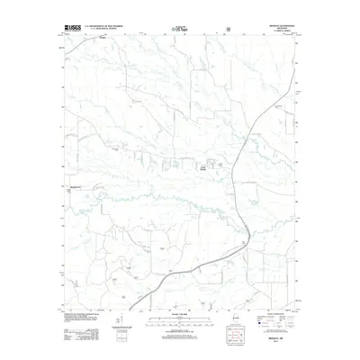
1965 Bradley
Oktibbeha County, MS
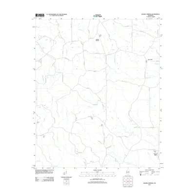
1972 Double Springs
Oktibbeha County, MS
1987 Cedar Bluff
Oktibbeha County, MS
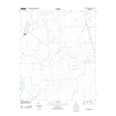
1987 Crawford West
Oktibbeha County, MS
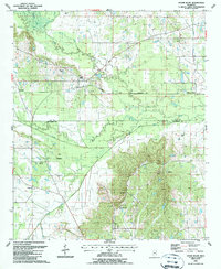
2000 Bradley
Oktibbeha County, MS
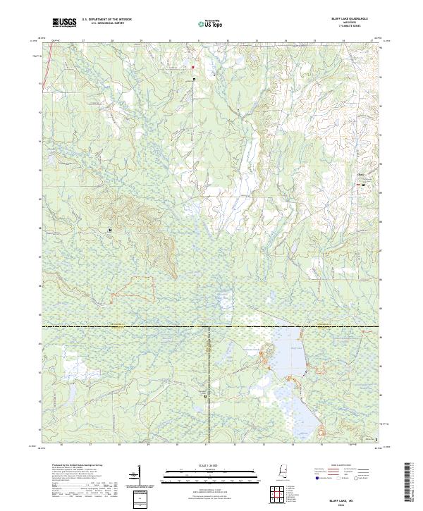
2012 Bluff Lake
Oktibbeha County, MS
2012 Bradley
Oktibbeha County, MS
2012 Cedar Bluff
Oktibbeha County, MS
2012 Crawford West
Oktibbeha County, MS
2012 Double Springs
Oktibbeha County, MS
2015 Bluff Lake
Oktibbeha County, MS
2015 Bradley
Oktibbeha County, MS
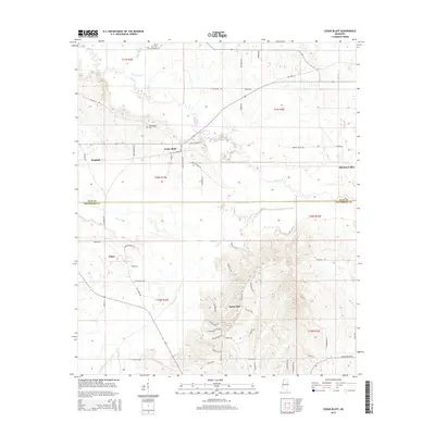
2015 Cedar Bluff
Oktibbeha County, MS
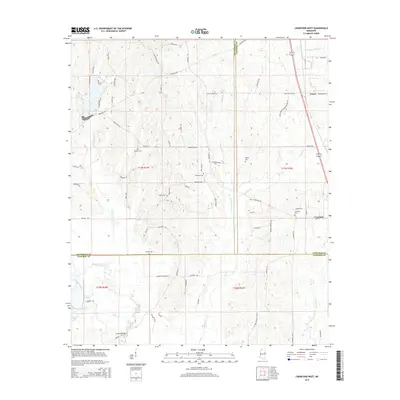
2015 Crawford West
Oktibbeha County, MS
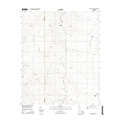
2015 Double Springs
Oktibbeha County, MS
2018 Bluff Lake
Oktibbeha County, MS
2018 Bradley
Oktibbeha County, MS
2018 Cedar Bluff
Oktibbeha County, MS
2018 Crawford West
Oktibbeha County, MS
2018 Double Springs
Oktibbeha County, MS
2020 Cedar Bluff
Oktibbeha County, MS
2020 Crawford West
Oktibbeha County, MS
2020 Double Springs
Oktibbeha County, MS
2021 Bluff Lake
Oktibbeha County, MS
2021 Bradley
Oktibbeha County, MS
2024 Bluff Lake
Oktibbeha County, MS
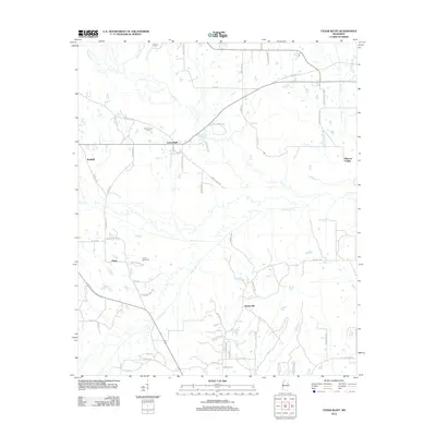
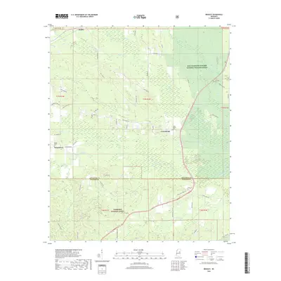
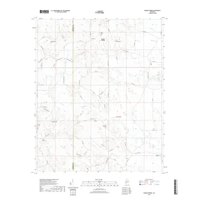
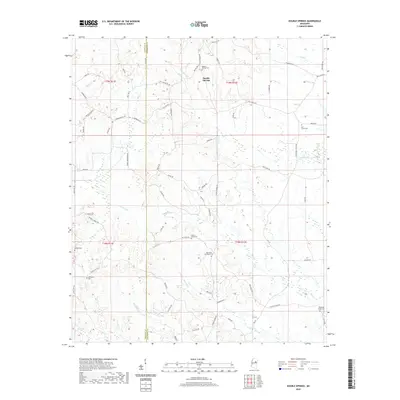
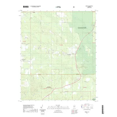
2024 Bradley
Oktibbeha County, MS
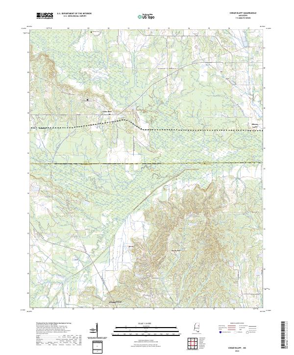
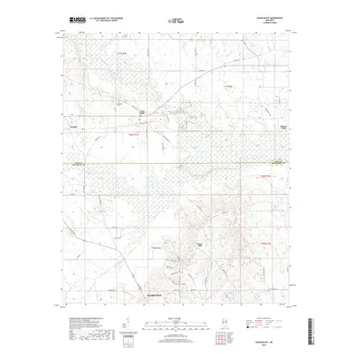
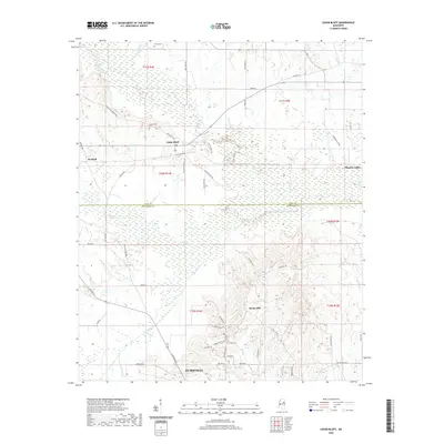
2024 Cedar Bluff
Oktibbeha County, MS
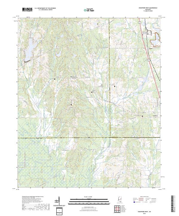
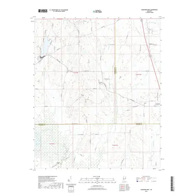
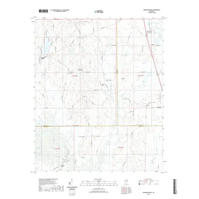
2024 Crawford West
Oktibbeha County, MS
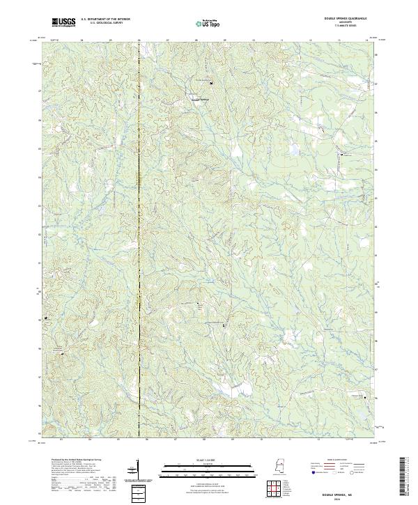
2024 Double Springs
Oktibbeha County, MS