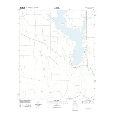
2011 Map of Bradley SE
USGS Topo · Published 2011About this map
Lake Erling dominates the central landscape of this 2011 survey, straddling the State Line between Arkansas and Louisiana. This massive reservoir, regulated by the Percy Cobb Dam, was created by the impoundment of Bodcau Creek. The map documents a geography defined by the intersection of water management and energy extraction, with the Bradley Oil and Gas Field and the North Carterville Oil Field indicating the region's industrial footprint. Numerous watercourses, including Walker Creek, Dooley Creek, and Martin Creek, weave through the terrain, illustrating the complex drainage system of the Red River basin. The settlement of Walker Creek sits in the northeast corner, connected by a network of local routes like County Rd 68 and various Lafayette County roads that serve the surrounding timber and oil lands.
Find a feature on this map
67 named features on this map. Tap any name to fly to it.
Don’t see what you’re looking for? This feature index may not catch every label — zoom into the map to look around manually.
Map Details
Editions of this 2011 Bradley SE Map
This is the sole edition of this map. No revisions or reprints were ever made.
Other maps of this area

1922 · Sarepta
USGS Topo · 1:62,500

1924 · Sarepta
USGS Topo · 1:62,500

1950 · Plain Dealing NE
USGS Topo · 1:31,680

1950 · Plain Dealing NW
USGS Topo · 1:31,680

1952 · Bradley
USGS Topo · 1:24,000

1952 · Bradley NE
USGS Topo · 1:24,000

1952 · Canfield
USGS Topo · 1:24,000

1952 · Bradley SE
USGS Topo · 1:24,000

1953 · Carterville
USGS Topo · 1:24,000

1953 · El Dorado
USGS Topo · 1:250,000