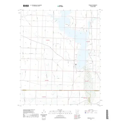
2020 Map of Bradley SE
USGS Topo · Published 2020About this map
Lake Erling dominates the northeastern portion of this landscape where the borders of Arkansas and Louisiana meet. This region is defined by a dense network of timberlands and low-lying wetlands, particularly evident around the meandering path of Bodcau Cr and Keoun Cr in the south. The terrain is marked by a grid of rural service roads like Lafayette Rd 8 and Oglee Rd, which navigate the various creek drainages including Dooley Cr and Walker Cr. The geography here reflects the quiet, modern character of the Lafayette County and Bossier Parish borderlands, showing a mix of managed forest resources and the expansive waters of the lake as they appeared in 2020.
Find a feature on this map
74 named features on this map. Tap any name to fly to it.
Don’t see what you’re looking for? This feature index may not catch every label — zoom into the map to look around manually.
Map Details
Editions of this 2020 Bradley SE Map
This is the sole edition of this map. No revisions or reprints were ever made.
Other maps of this area

1922 · Sarepta
USGS Topo · 1:62,500

1924 · Sarepta
USGS Topo · 1:62,500

1950 · Plain Dealing NE
USGS Topo · 1:31,680

1950 · Plain Dealing NW
USGS Topo · 1:31,680

1952 · Bradley
USGS Topo · 1:24,000

1952 · Bradley NE
USGS Topo · 1:24,000

1952 · Canfield
USGS Topo · 1:24,000

1952 · Bradley SE
USGS Topo · 1:24,000

1953 · Carterville
USGS Topo · 1:24,000

1953 · El Dorado
USGS Topo · 1:250,000