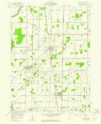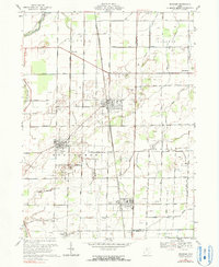
1994 Map of Bradner
USGS Topo · Published 1998About this map
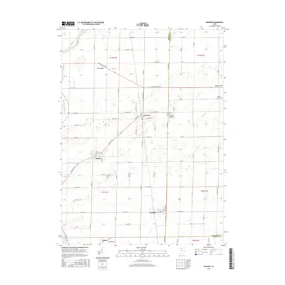
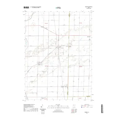
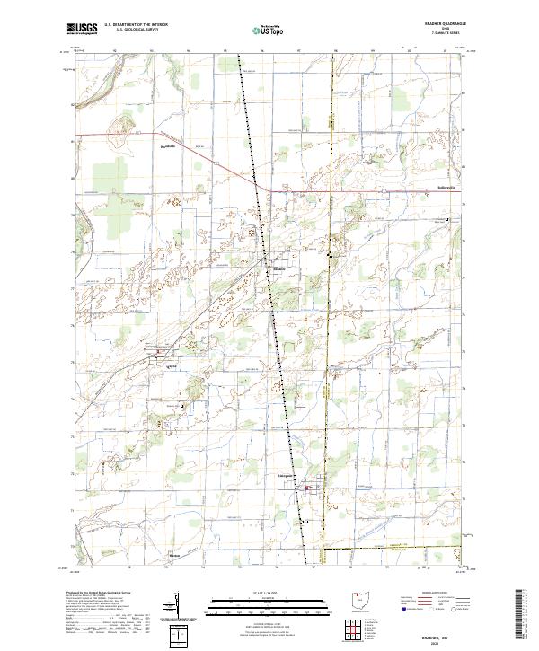
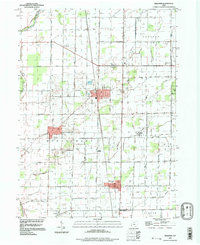
The agricultural landscape of Wood County is defined by a dense grid of rural roads and the persistent industry of Oil Wells scattered across the plains. This 1990s record shows the established settlements of Bradner, Wayne, and Risingsun as the primary hubs of the area. These towns are linked by a network of local routes like Greensburg Pike and Mermill Road, while the land between them is drained by the meandering forks of the North Branch Portage River and South Branch Portage River. The map highlights the intersection of modern utility and traditional community landmarks, ranging from the Sewage Disposal plant to the Church Camp and Graham Cem. The presence of numerous oil sites suggests the ongoing economic importance of resource extraction within these townships, including Freedom, Madison, and Montgomery.
Find a feature on this map
51 named features on this map. Tap any name to fly to it.
Don’t see what you’re looking for? This feature index may not catch every label — zoom into the map to look around manually.
Map Details
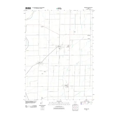
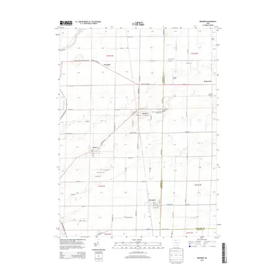
Editions of this 1994 Bradner Map
This is the sole edition of this map. No revisions or reprints were ever made.
Historical Maps of Bradner Through Time
8 maps found