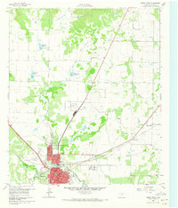
1960 Map of Brady North
USGS Topo · Published 1973About this map
Brady serves as the focal point of this North Texas survey, where the grid of the town center meets the Gulf Colorado and Santa Fe Railroad. The landscape is defined by the convergence of Live Oak Creek and Brady Creek, supported by several water management projects like Reservoir No 45 and Reservoir No 44 to the north. These reservoirs, alongside numerous gravel and clay pits, reflect a mid-century economy built on water conservation and local resource extraction.
Find a feature on this map
31 named features on this map. Tap any name to fly to it.
Don’t see what you’re looking for? This feature index may not catch every label — zoom into the map to look around manually.
Map Details
Editions of this 1960 Brady North Map
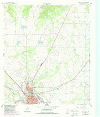
Other maps of this area

1894 · Brady
USGS Topo · 1:125,000

1928 · Mercury
USGS Topo · 1:62,500

1928 · Waldrip
USGS Topo · 1:62,500

1950 · Mercury
USGS Topo · 1:62,500

1954 · Brownwood
USGS Topo · 1:250,000

1960 · West Sweden
USGS Topo · 1:24,000

1960 · Brady North
USGS Topo · 1:24,000
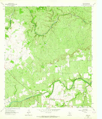
1963 · Voca
USGS Topo · 1:24,000
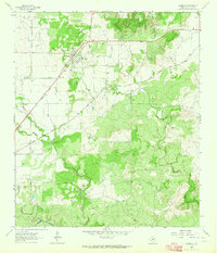
1963 · Rochelle
USGS Topo · 1:24,000

1963 · Brady SW
USGS Topo · 1:24,000