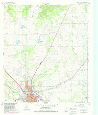
1960 Map of Brady North
USGS Topo · Published 1988About this map
The city of Brady serves as a prominent hub at the edge of the Brady Mountains, shown here during a period of transition as the rail economy shifted. The Atchison Topeka and Santa Fe Railroad Grade anchors the southern landscape, while Curtis Field Municipal Airport and the G Rollie White Downs Racetrack highlight the area's mid-century development. Genealogy and local history researchers can trace family landmarks like the Rest Haven Cem and the First United Ch near the city center. The surrounding terrain is defined by water management and drainage, with Reservoir No 45, Reservoir No 44, and Reservoir No 46 controlling runoff into Live Oak Creek and Brady Creek. Further east, the small settlement of East Sweden sits near Sweden Hollow, reflecting the rural character of McCulloch County.
Find a feature on this map
31 named features on this map. Tap any name to fly to it.
Don’t see what you’re looking for? This feature index may not catch every label — zoom into the map to look around manually.
Map Details
Editions of this 1960 Brady North Map
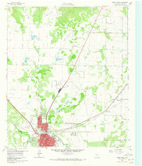
Other maps of this area

1894 · Brady
USGS Topo · 1:125,000

1928 · Mercury
USGS Topo · 1:62,500

1928 · Waldrip
USGS Topo · 1:62,500

1950 · Mercury
USGS Topo · 1:62,500

1954 · Brownwood
USGS Topo · 1:250,000

1960 · West Sweden
USGS Topo · 1:24,000

1960 · Brady North
USGS Topo · 1:24,000
1963 · Voca
USGS Topo · 1:24,000
1963 · Rochelle
USGS Topo · 1:24,000

1963 · Brady SW
USGS Topo · 1:24,000