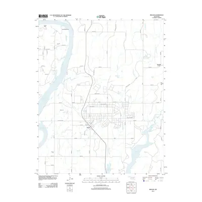
2012 Map of Braggs
USGS Topo · Published 2012About this map
The town of Braggs serves as the focal point of this Eastern Oklahoma landscape, situated just east of the extensive Webbers Falls Reservoir and north of Greenleaf Lake. This 2012 survey illustrates a region defined by its waterway networks, including the winding course of Bondinot Cr and Little Greenleaf Cr. The topography transitions from the lowlands of Gooseneck Bend to prominent elevations like Devils Peak and Fire Tower Hill in the northeast.
Find a feature on this map
62 named features on this map. Tap any name to fly to it.
Don’t see what you’re looking for? This feature index may not catch every label — zoom into the map to look around manually.
Map Details
Editions of this 2012 Braggs Map
This is the sole edition of this map. No revisions or reprints were ever made.
Other maps of this area

1901 · Muscogee
USGS Topo · 1:125,000

1905 · Muscogee
USGS Topo · 1:125,000

1946 · Fort Smith
USGS Topo · 1:250,000

1948 · Hulbert
USGS Topo · 1:62,500

1948 · Keefeton
USGS Topo · 1:62,500

1948 · Webbers Falls
USGS Topo · 1:62,500

1948 · Wagoner
USGS Topo · 1:62,500

1950 · Keefeton
USGS Topo · 1:62,500

1950 · Wagoner
USGS Topo · 1:62,500

1950 · Hulbert
USGS Topo · 1:62,500